Seaport · Papua New Guinea
MadangPGMAG
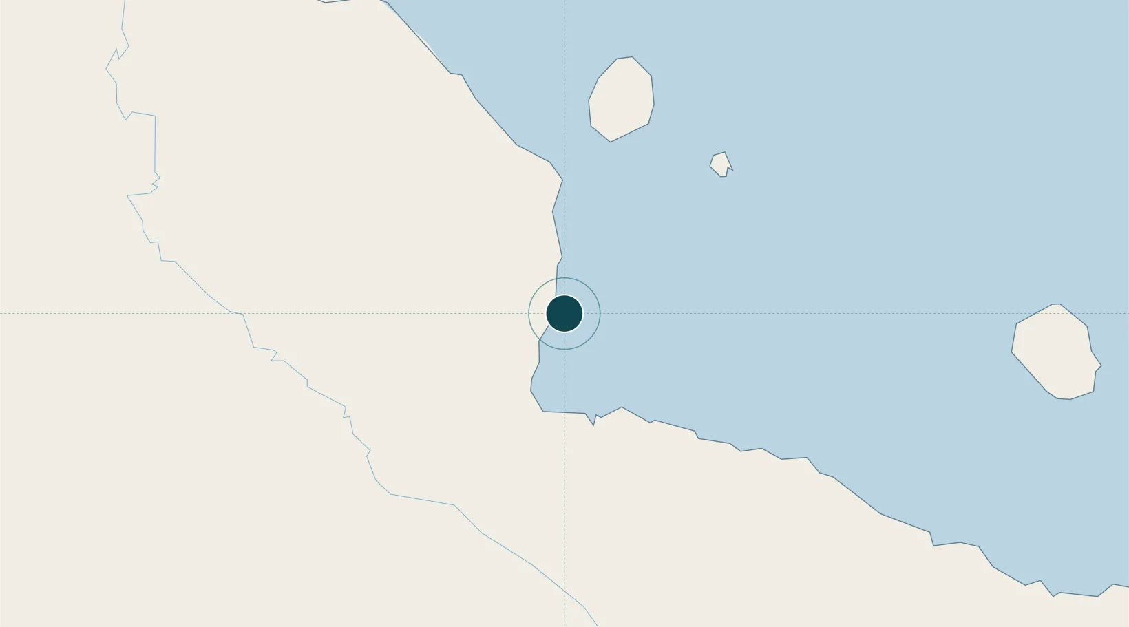
-5.2167°, 145.8167°
9.4 m
Channel depth
1
Container terminals
35.5
Port liner connectivity
Channel & Berth Profile
Pilotage, Tugs & Services
Pilotage compulsoryYES
Pilotage availableYES
Pilotage advisableYES
Tug assistanceNO
Salvage tugsNO
Potable waterYES
MedicalYES
Facilities & Capabilities
Container—
Ro-Ro—
Liquid bulk—
Dry bulk—
Oil terminal—
Break bulk—
Dry dock—
RepairsNO
BunkeringYES
Rail link—
Dangerous cargo—
ISPS security—
Harbour Specifications
Harbour size
Very Small
Harbour type
Coastal (Natural)
Shelter
Good
Water body
Bismarck Sea; South Pacific Ocean
Tidal range
1 m
Pilotage
Yes
Liner Connectivity
35.5
PLSCI
Port Liner Shipping Connectivity Index for Madang, as published by UNCTAD for the latest available quarter. Higher values indicate stronger scheduled liner-shipping integration.
Shown relative to the highest per-port PLSCI in the dataset (1,657.9).
Location
Container Terminals · 1
PORT OF MADANG
PMAG PNG PORTS CORPORATION LIMITED
Nearby Logistics Neighbours
Ports
- 1Lae214 km
- 2Wewak Harbor304 km
- 3Kumul349 km
- 4Lorengau391 km
- 5Port Moresby494 km
Cities
- 1Karkar Is67 km
- 2Watabung117 km
- 3Lae213 km
- 4Tambanum270 km
- 5Tami Island288 km
Airports
- 1Madang Airport3 km
- 2Goroka Airport107 km
- 3Chimbu Airport130 km
- 4Nadzab Tomodachi International Airport181 km
- 5Mount Hagen Kagamuga Airport181 km
Trade Zones
DatabookThe Record of Consolidated Knowledge
Papua New Guinea beyond logistics?