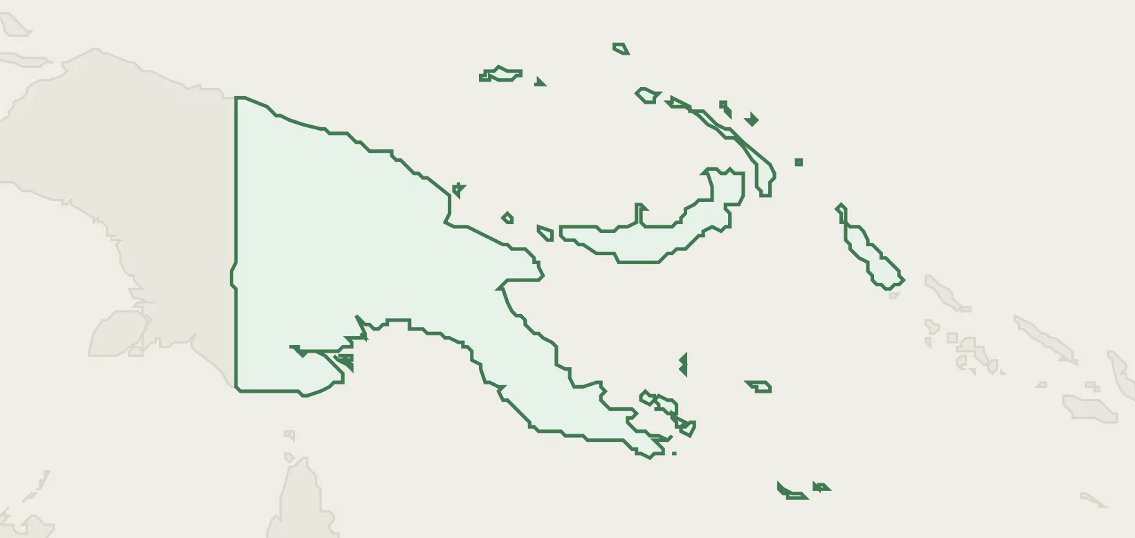

Papua New Guinea
Papua New Guinea (PNG) maps 16 seaports from the NGA World Port Index, 37 airports, and 37 UN/LOCODE transport hubs — each figure traced to a named public registry (NGA, OurAirports, UNECE).
Explore the country's ports, airports, hubs and trade zones below, each cross-linked to its sourced entity record, or open the same nation on databook for its wider reference profile.
Logistics Performance
- Global LPI rank#79/139
- Overall LPI score2.70/5.00
- UNCTAD liner connectivity (LSCI)49.4 · 2024-Q1
- Port connectivity (PLSCI)131.0 · Lae
- Infrastructure quality2.4
- Customs efficiency2.4
Transport Network & Freight
the World Bank's World Development Indicators (2026-04) records no rail-network figures for Papua New Guinea.
Trade & Compliance
- FTA United Kingdom - Pacific States
- FTA United Kingdom - Pacific States - Accession of Samoa
- FTA United Kingdom - Pacific States - Accession of Solomon Islands
- FTA EU - Pacific States - Accession of Solomon Islands
- Agriculture (62) Oil palm fruit 3.5M t · 2024
- Minerals (8) petroleum, crude 320k t · 2023
the UN Security Council Consolidated List (2026-04) records no trade-control entries for Papua New Guinea.
Logistics Infrastructure
Ports
16 seaports in Papua New Guinea — channel and anchorage depths, berths and cargo facilities from the NGA World Port Index.
Airports
37 airports in Papua New Guinea, identified by IATA and ICAO codes and located by city.
Locations
37 UN/LOCODE transport hubs in Papua New Guinea — port, rail, road, air and border-crossing function points.
Trade Zones
12 special economic and free-trade zones in Papua New Guinea, with type and operator.
Airlines
2 air carriers registered in Papua New Guinea, indexed by IATA and ICAO code.
Browse Airlines →