Medium airport · Papua New Guinea

Mount Hagen Kagamuga AirportAYMH
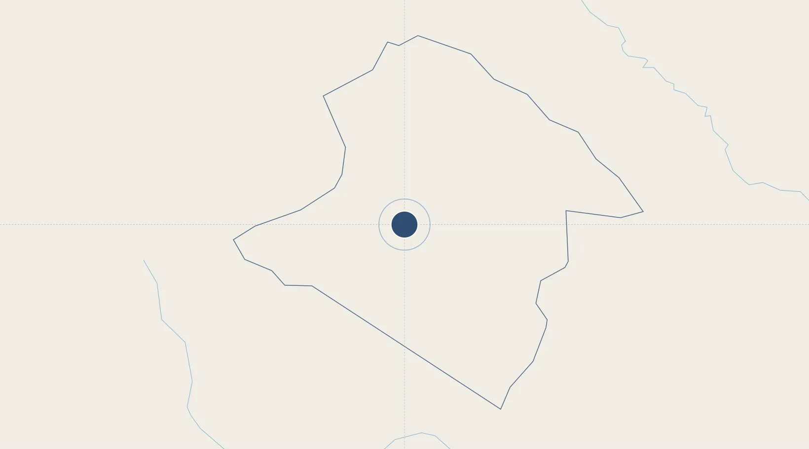
-5.8282°, 144.2994°
7,185 ft
Longest runway
2
Runways
5,388 ft
Elevation

Runway & Layout

Mount Hagen Kagamuga Airport runway & taxiway layout
Runway & taxiway layout — OpenStreetMap (ODbL) / OurAirports

Radio Frequencies

ATIS
128.4 MHz
TWR
120.5 MHz
HAGEN TWR
OurAirports

Navaids

MH NDB-DME Mount Hagen 0.17 MHz
OurAirports

Runways · 2

RunwayDimensions SurfaceTrue headingLit
12/30 7,185 × 98ft Asphalt 121°
08/26 3,599 × 59ft Asphalt 085°
OurAirports

Airport Specifications

IATA code
HGU
OurAirports
ICAO code
AYMH
OurAirports
Airport class
Medium airport
OurAirports
Scheduled service
Yes
OurAirports
Runway surface
Asphalt
OurAirports
Served city
Mount Hagen
OurAirports

Location

Location of AYMH
Natural Earth 10m (public domain) · Western Highlands · AYMH · -5.83, 144.30GoogleOSMYandex

Nearby Logistics Neighbours

Airports
  1. 1Wapenamanda Airport50 km
  2. 2Chimbu Airport77 km
  3. 3Mendi Airport79 km
  4. 4Goroka Airport124 km
  5. 5Moro Airport132 km
Nearest neighbours — logibook spatial index (haversine) over the source coordinates
Cities
  1. 1Watabung105 km
  2. 2Kopi164 km
  3. 3Madang180 km
  4. 4Tambanum197 km
  5. 5Yentchan221 km
Nearest neighbours — logibook spatial index (haversine) over the source coordinates
Ports
  1. 1Madang181 km
  2. 2Kumul254 km
  3. 3Wewak Harbor262 km
  4. 4Lae315 km
  5. 5Daru380 km
Nearest neighbours — logibook spatial index (haversine) over the source coordinates
Trade Zones
  1. 1Pacific Marine Industrial Zone177 km
  2. 2Morobe Agricultural Special Economic Zone190 km
  3. 3Ihu Special Economic Zone260 km
  4. 4Nadzab (Momase) Special Economic Zone289 km
  5. 5Sepik Special Economic Zone352 km
Nearest neighbours — logibook spatial index (haversine) over the source coordinates
DatabookThe Record of Consolidated Knowledge
Papua New Guinea beyond logistics?
Browse databook

All Sources

AirportsOurAirports
Public domain
Portsthe NGA World Port Index
Public domain (US gov)
LocationsUN/LOCODE
UN/LOCODE — free
Trade Zonesthe World Bank SEZ database
CC BY 4.0
Trade ZonesOpen Zone Map
CC BY
InfrastructureOpenStreetMap
ODbL 1.0
← Papua New Guinea airports