Medium airport · Papua New Guinea
Madang AirportAYMD
-5.2071°, 145.7890°
5,174 ft
Longest runway
1
Runways
20 ft
Elevation
Runway & Layout

Radio Frequencies
ATIS
127.8 MHz
TWR
118.1 MHz
FSS
120.1 MHz
MADANG CNTR
Navaids
MD VOR-DME Madang 116.30 MHz
MD NDB Madang 362 kHz
Runways · 1
| Runway | Dimensions | Surface | True heading | Lit |
|---|---|---|---|---|
| 07/25 | 5,174 × 105ft | Asphalt | 075° | ✓ |
Airport Specifications
IATA code
MAG
ICAO code
AYMD
Airport class
Medium airport
Scheduled service
Yes
Runway surface
Asphalt
Served city
Madang
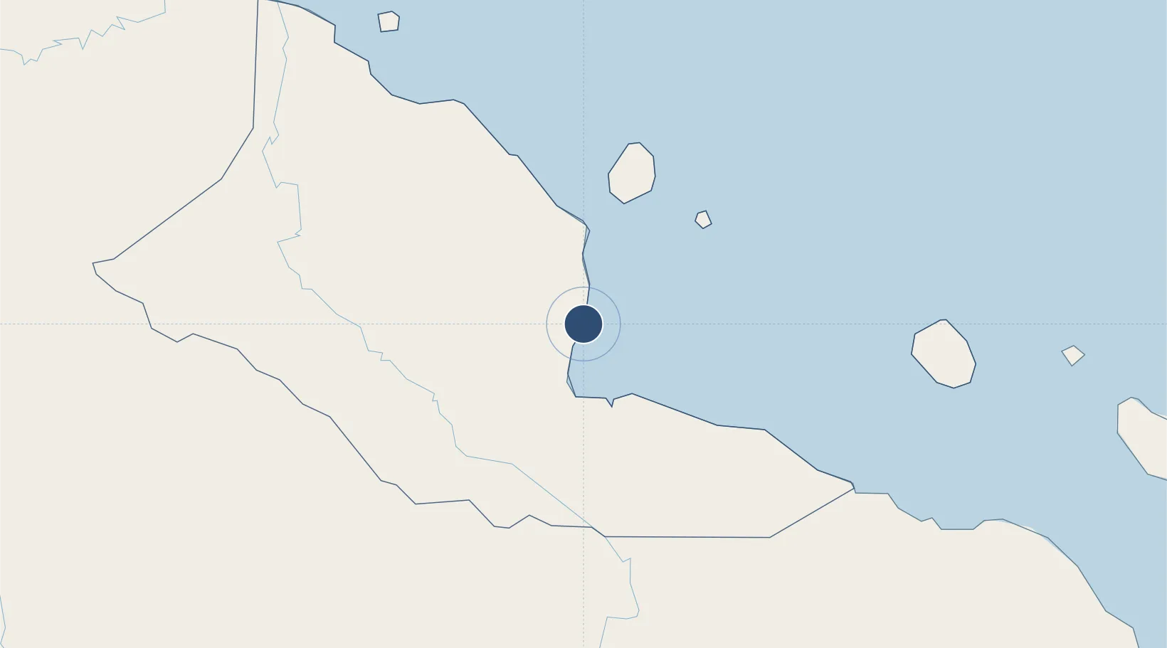
Location
Nearby Logistics Neighbours
Airports
- 1Goroka Airport107 km
- 2Chimbu Airport128 km
- 3Mount Hagen Kagamuga Airport179 km
- 4Nadzab Tomodachi International Airport183 km
- 5Wapenamanda Airport215 km
Ports
- 1Madang3 km
- 2Lae216 km
- 3Wewak Harbor301 km
- 4Kumul349 km
- 5Lorengau391 km
Trade Zones
DatabookThe Record of Consolidated Knowledge
Papua New Guinea beyond logistics?