Medium airport · Papua New Guinea
Goroka AirportAYGA
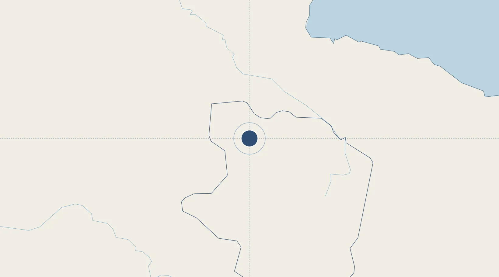
-6.0817°, 145.3920°
5,400 ft
Longest runway
2
Runways
5,282 ft
Elevation
Runway & Layout

Radio Frequencies
TWR
118.7 MHz
Navaids
GA NDB Goroka 173 kHz
Runways · 2
| Runway | Dimensions | Surface | True heading | Lit |
|---|---|---|---|---|
| 17R/35L | 5,400 × 98ft | Asphalt | 176° | ✓ |
| 17L/35R | 3,983 × 59ft | Asphalt | 176° | — |
Airport Specifications
IATA code
GKA
ICAO code
AYGA
Airport class
Medium airport
Scheduled service
Yes
Runway surface
Asphalt
Served city
Goronka
Location
Nearby Logistics Neighbours
Airports
- 1Chimbu Airport47 km
- 2Madang Airport107 km
- 3Mount Hagen Kagamuga Airport124 km
- 4Nadzab Tomodachi International Airport157 km
- 5Baimuru Airport170 km
Ports
- 1Madang107 km
- 2Lae192 km
- 3Kumul242 km
- 4Wewak Harbor341 km
- 5Daru411 km
Trade Zones
DatabookThe Record of Consolidated Knowledge
Papua New Guinea beyond logistics?