UN/LOCODE hub · Papua New Guinea
PGMAG
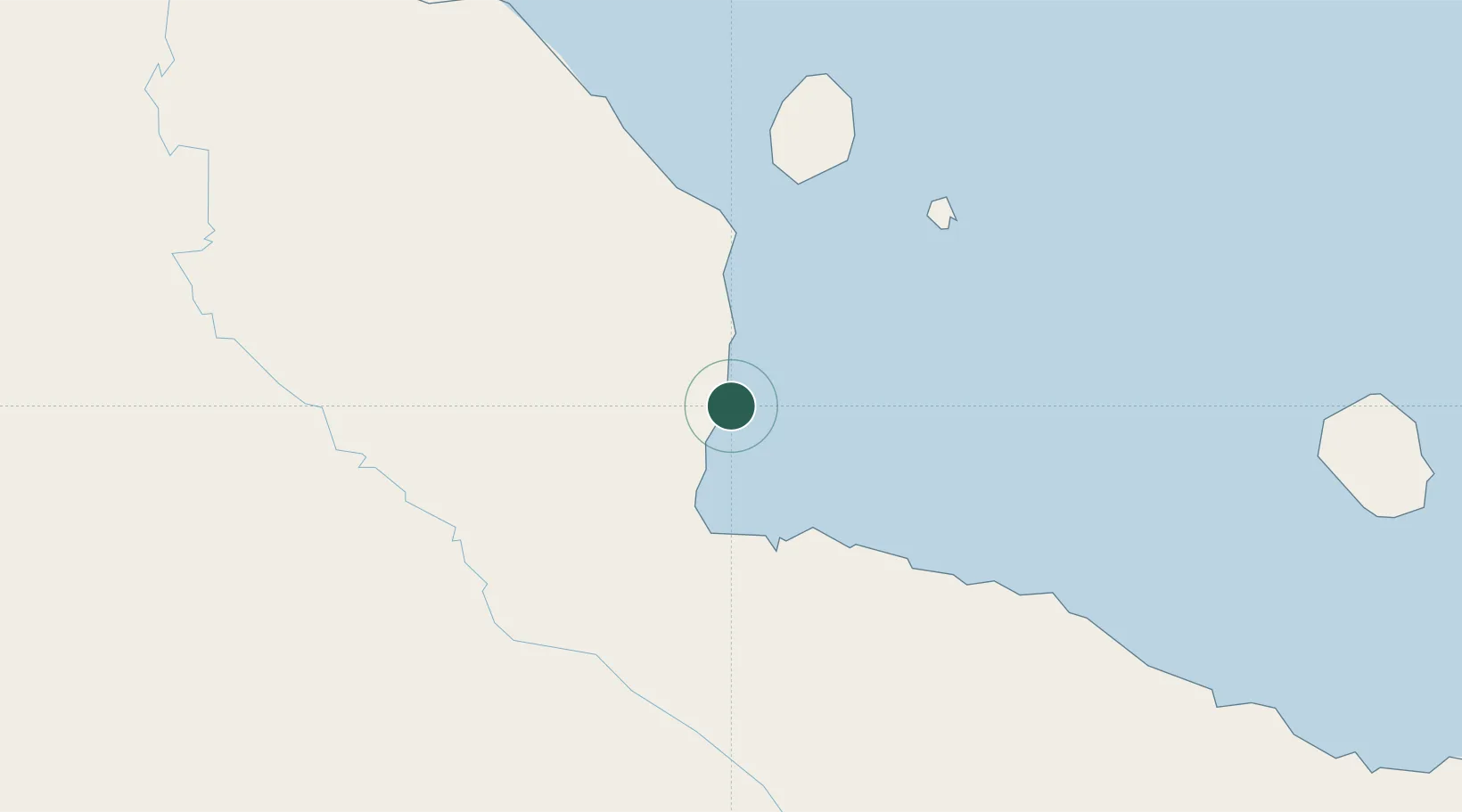
Madang
-5.2161°, 145.8014°
27,419
Population
2
Transport functions
1
Container terminals
Transport Functions
Port
Airport
Hub Profile
Place type
Regional capital
Region
Madang Province
Population
27,419
Time zone
Pacific/Port_Moresby
Elevation
4 m
Logistics facilities
2
Container terminals
1
Location
Nearby Logistics Neighbours
Cities
- 1Karkar Is67 km
- 2Watabung116 km
- 3Lae214 km
- 4Tambanum269 km
- 5Tami Island289 km
Ports
- 1Lae215 km
- 2Wewak Harbor302 km
- 3Kumul349 km
- 4Lorengau391 km
- 5Port Moresby495 km
Airports
- 1Madang Airport2 km
- 2Goroka Airport106 km
- 3Chimbu Airport129 km
- 4Mount Hagen Kagamuga Airport180 km
- 5Nadzab Tomodachi International Airport182 km
Trade Zones
DatabookThe Record of Consolidated Knowledge
Papua New Guinea beyond logistics?