Transport Functions
Port
Road
Airport
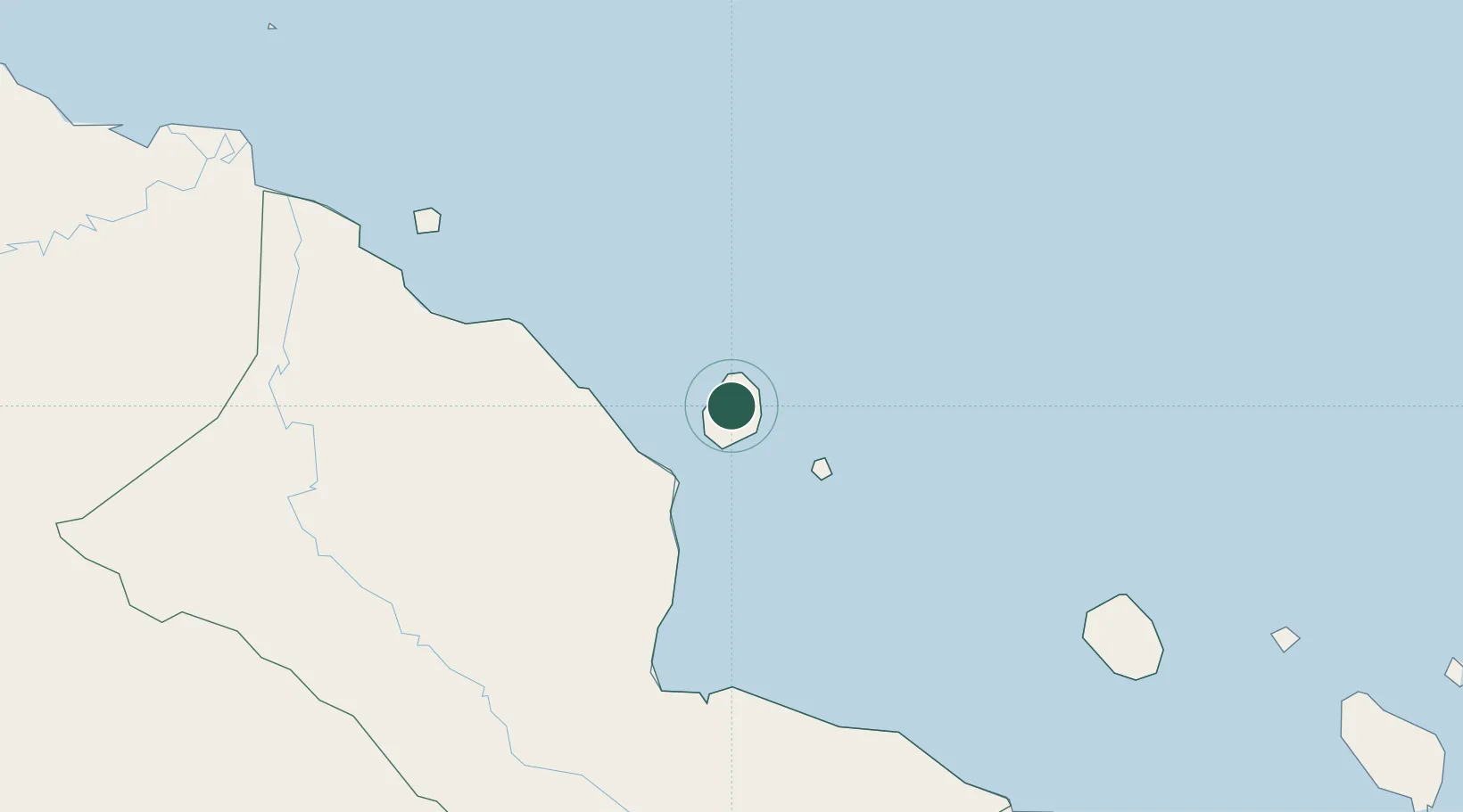
Location
Nearby Logistics Neighbours
Ports
- 1Madang67 km
- 2Lae260 km
- 3Wewak Harbor285 km
- 4Lorengau325 km
- 5Kumul415 km
Airports
- 1Madang Airport67 km
- 2Goroka Airport173 km
- 3Chimbu Airport190 km
- 4Mount Hagen Kagamuga Airport228 km
- 5Nadzab Tomodachi International Airport231 km
Trade Zones
DatabookThe Record of Consolidated Knowledge
Papua New Guinea beyond logistics?