Medium airport · Papua New Guinea
Chimbu AirportAYCH
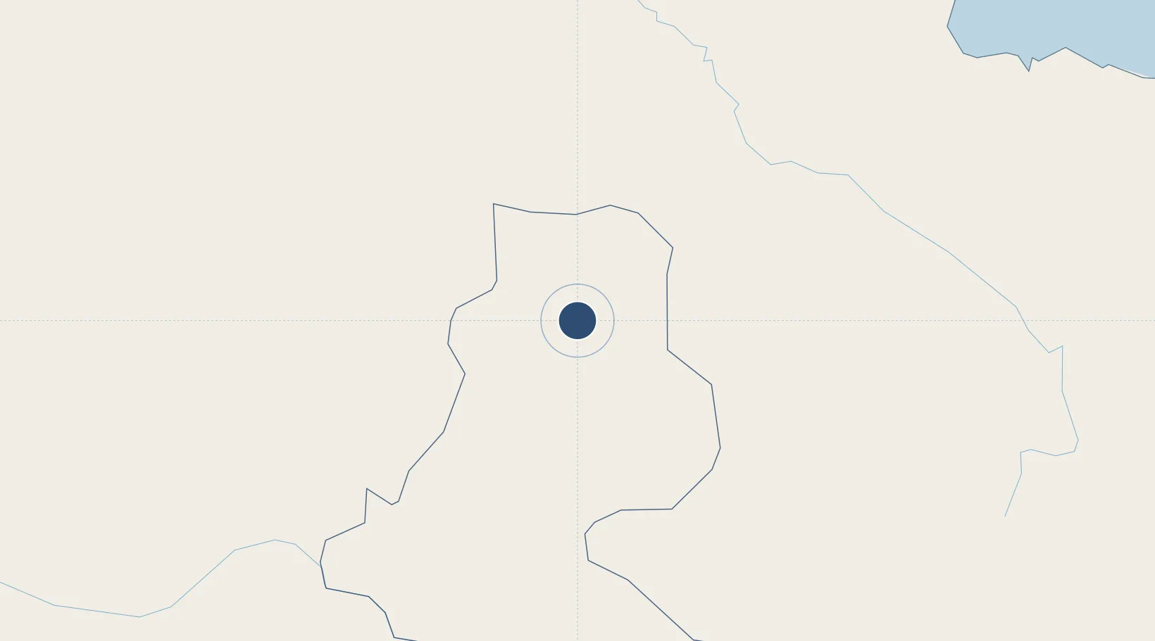
-6.0243°, 144.9710°
3,330 ft
Longest runway
1
Runways
4,974 ft
Elevation
Runway & Layout

Runways · 1
| Runway | Dimensions | Surface | True heading | Lit |
|---|---|---|---|---|
| 03/21 | 3,330 × 89ft | Asphalt | 036° | ✓ |
Airport Specifications
IATA code
CMU
ICAO code
AYCH
Airport class
Medium airport
Scheduled service
Yes
Runway surface
Asphalt
Served city
Kundiawa
Location
Nearby Logistics Neighbours
Airports
- 1Goroka Airport47 km
- 2Mount Hagen Kagamuga Airport77 km
- 3Wapenamanda Airport127 km
- 4Madang Airport128 km
- 5Mendi Airport146 km
Ports
- 1Madang130 km
- 2Kumul235 km
- 3Lae238 km
- 4Wewak Harbor311 km
- 5Daru391 km
Trade Zones
DatabookThe Record of Consolidated Knowledge
Papua New Guinea beyond logistics?