UN/LOCODE hub · Papua New Guinea
PGLAE
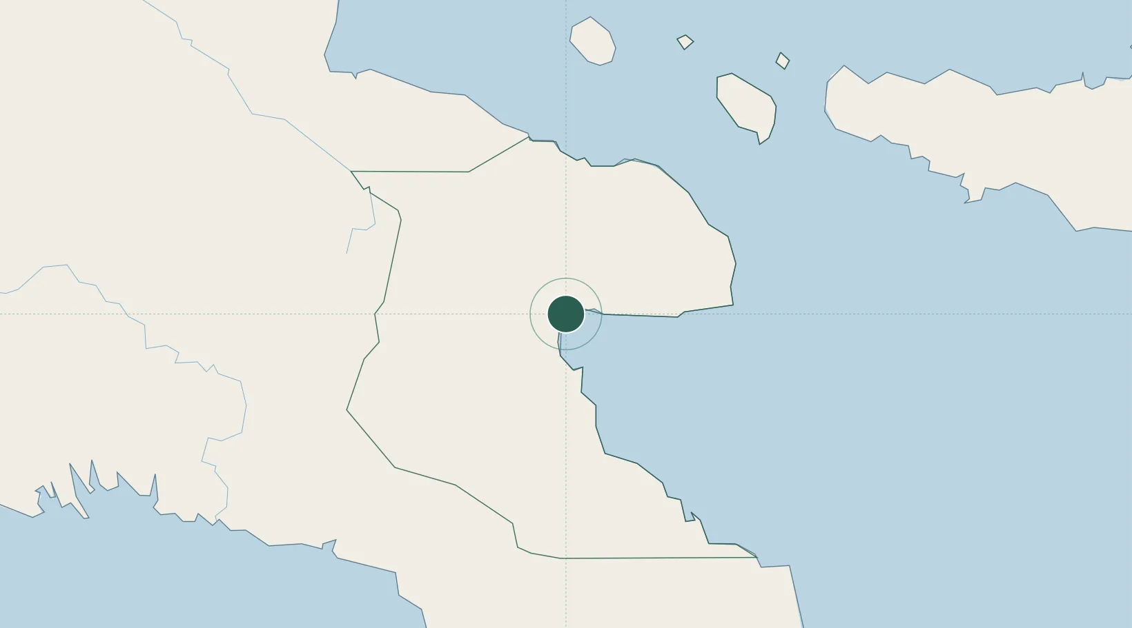
Lae
-6.7380°, 146.9853°
76,255
Population
2
Transport functions
3
Container terminals
Transport Functions
Port
Airport
Hub Profile
Place type
Regional capital
Region
Morobe Province
Population
76,255
Time zone
Pacific/Port_Moresby
Elevation
44 m
Logistics facilities
6
Container terminals
3
Location
Nearby Logistics Neighbours
Cities
- 1Tami Island101 km
- 2Watabung209 km
- 3Madang214 km
- 4Vailala216 km
- 5Kairuku238 km
Ports
- 1Madang213 km
- 2Oro Bay290 km
- 3Port Moresby304 km
- 4Kumul307 km
- 5Kimbe431 km
Airports
- 1Nadzab Tomodachi International Airport34 km
- 2Tapini Airport180 km
- 3Goroka Airport191 km
- 4Kerema Airport191 km
- 5Madang Airport216 km
Trade Zones
DatabookThe Record of Consolidated Knowledge
Papua New Guinea beyond logistics?