Seaport · Papua New Guinea
LaePGLAE
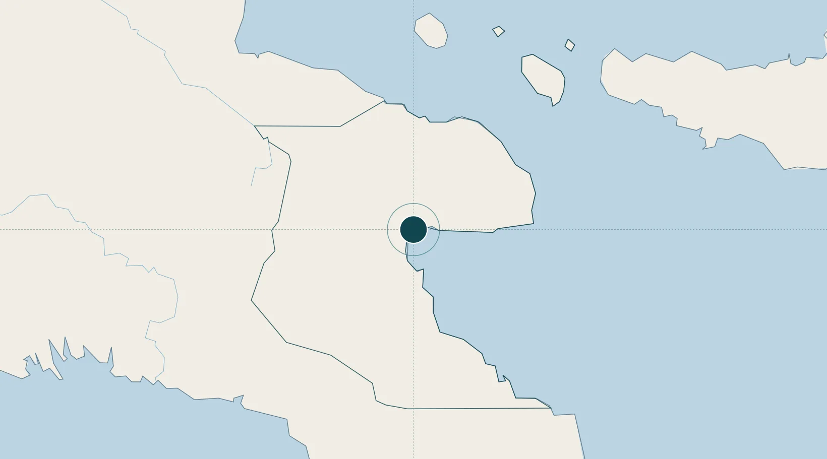
-6.7333°, 147.0000°
11.0 m
Channel depth
3
Container terminals
131.0
Port liner connectivity
Channel & Berth Profile
Pilotage, Tugs & Services
Pilotage compulsoryYES
Pilotage availableYES
Pilotage advisableYES
Local assistanceYES
Tug assistanceYES
Salvage tugsNO
Potable waterYES
Diesel bunkersYES
MedicalYES
Garbage disposalYES
Facilities & Capabilities
ContainerYES
Ro-Ro—
Liquid bulk—
Dry bulk—
Oil terminalYES
Break bulkYES
Dry dock—
Repairs—
BunkeringYES
Rail link—
Dangerous cargo—
ISPS security—
Harbour Specifications
Harbour size
Very Small
Harbour type
Open Roadstead
Shelter
Good
Water body
Solomon Sea; South Pacific Ocean
Tidal range
1 m
Overhead limit
Yes
Pilotage
Yes
Liner Connectivity
131
PLSCI
Port Liner Shipping Connectivity Index for Lae, as published by UNCTAD for the latest available quarter. Higher values indicate stronger scheduled liner-shipping integration.
Shown relative to the highest per-port PLSCI in the dataset (1,657.9).
Location
Container Terminals · 3
BISMARK TERMINAL LAE
BTL BISMARK MARITIME LIMITED
LAE MAIN WHARF
LMW PNG PORTS CORPORATION LIMITED
SOUTH PACIFIC INTL CONTAINER TERMINAL (SPICT) LAE
SPICT SOUTH PACIFIC INTERNATIONAL CONTAINER TERMINAL, LTD. (SPICT)
Nearby Logistics Neighbours
Ports
- 1Madang214 km
- 2Oro Bay290 km
- 3Port Moresby304 km
- 4Kumul308 km
- 5Kimbe429 km
Cities
- 1Tami Island100 km
- 2Watabung210 km
- 3Madang215 km
- 4Vailala218 km
- 5Kairuku239 km
Airports
- 1Nadzab Tomodachi International Airport35 km
- 2Tapini Airport181 km
- 3Goroka Airport192 km
- 4Kerema Airport193 km
- 5Madang Airport216 km
Trade Zones
DatabookThe Record of Consolidated Knowledge
Papua New Guinea beyond logistics?