Channel & Berth Profile
Pilotage, Tugs & Services
Pilotage compulsoryNO
Pilotage availableYES
Tug assistanceNO
Salvage tugsNO
Shore powerYES
Potable waterYES
Diesel bunkersYES
Facilities & Capabilities
Container—
Ro-Ro—
Liquid bulk—
Dry bulk—
Oil terminal—
Break bulk—
Dry dock—
Repairs—
BunkeringYES
Rail link—
Dangerous cargo—
ISPS security—
Harbour Specifications
Harbour size
Very Small
Harbour type
Open Roadstead
Shelter
Good
Water body
South Pacific Ocean
Tidal range
1 m
Pilotage
No
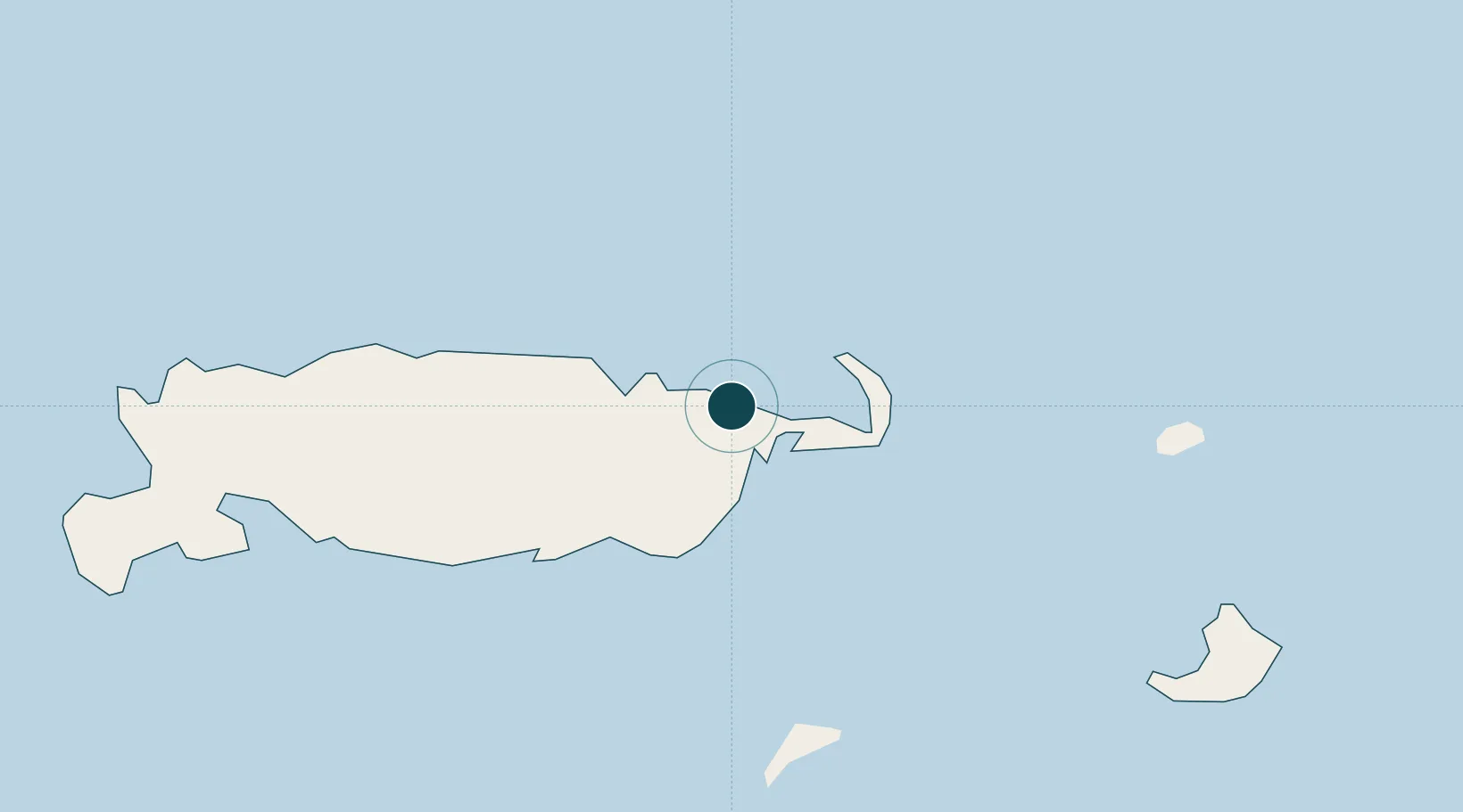
Location
Nearby Logistics Neighbours
Ports
- 1Madang391 km
- 2Kavieng Harbor398 km
- 3Wewak Harbor439 km
- 4Kimbe502 km
- 5Lae525 km
Airports
- 1Momote Airport18 km
- 2Madang Airport391 km
- 3Kavieng Airport398 km
- 4Wewak International Airport436 km
- 5Goroka Airport498 km
Trade Zones
DatabookThe Record of Consolidated Knowledge
Papua New Guinea beyond logistics?