Large airport · Papua New Guinea

Nadzab Tomodachi International AirportAYNZ
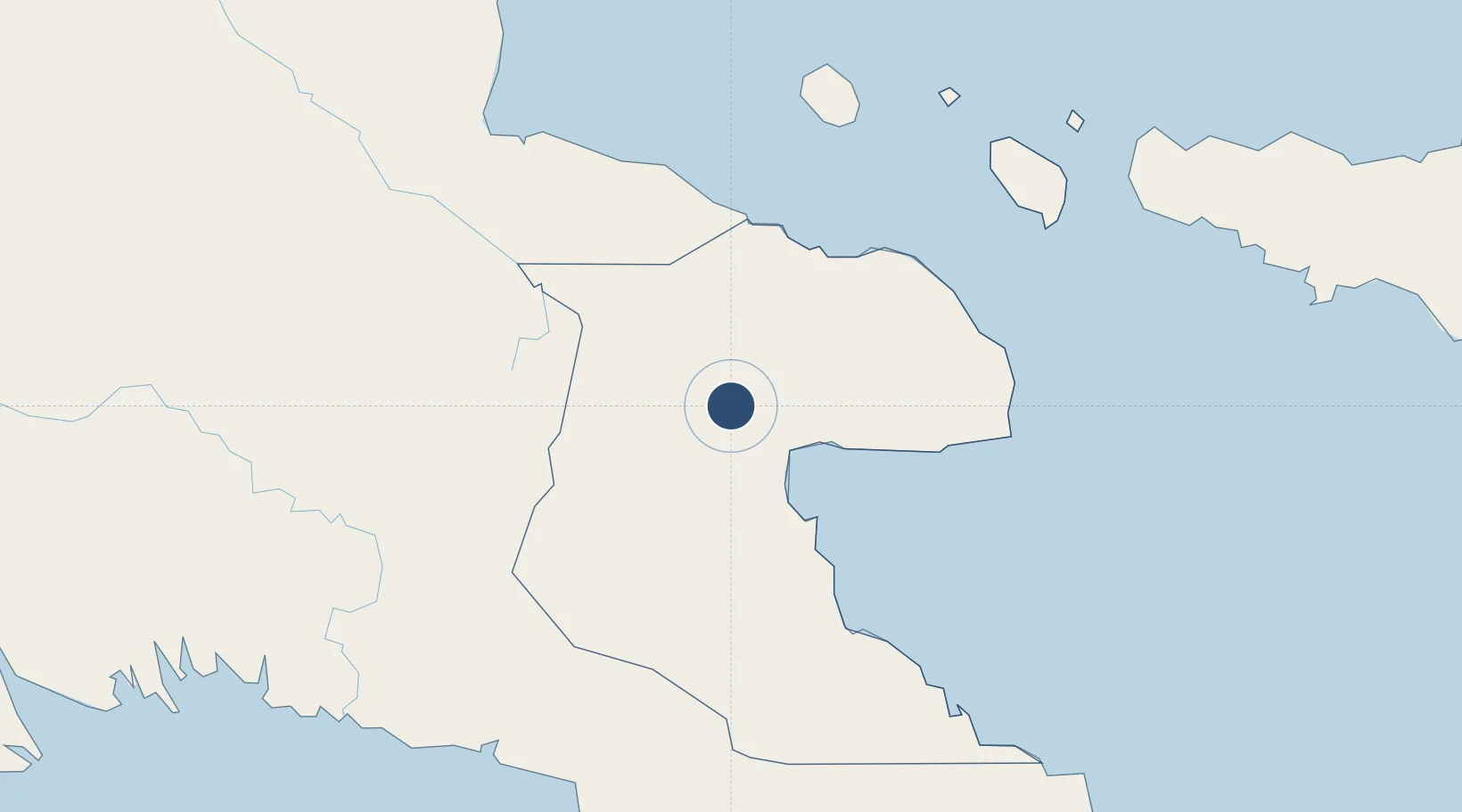
-6.5680°, 146.7265°
8,000 ft
Longest runway
1
Runways
239 ft
Elevation

Runway & Layout

Nadzab Tomodachi International Airport runway & taxiway layout
Runway & taxiway layout — OpenStreetMap (ODbL) / OurAirports

Radio Frequencies

ATIS
128.6 MHz
TWR
121.7 MHz
APP
118.6 MHz
RDO
120.7 MHz
LAE RDO
OurAirports

Navaids

NZ VOR-DME Nadzab 113.90 MHz
NZ NDB Nadzab 162 kHz
OurAirports

Runways · 1

RunwayDimensions SurfaceTrue headingLit
09/27 8,000 × 148ft Asphalt 095°
OurAirports

Airport Specifications

IATA code
LAE
OurAirports
ICAO code
AYNZ
OurAirports
Airport class
Large airport
OurAirports
Scheduled service
Yes
OurAirports
Runway surface
Asphalt
OurAirports
Served city
Lae
OurAirports

Location

Location of AYNZ
Natural Earth 10m (public domain) · Morobe · AYNZ · -6.57, 146.73GoogleOSMYandex

Nearby Logistics Neighbours

Airports
  1. 1Goroka Airport157 km
  2. 2Madang Airport183 km
  3. 3Kerema Airport188 km
  4. 4Tapini Airport201 km
  5. 5Chimbu Airport203 km
Nearest neighbours — logibook spatial index (haversine) over the source coordinates
Cities
  1. 1Lae34 km
  2. 2Tami Island132 km
  3. 3Watabung175 km
  4. 4Madang182 km
  5. 5Vailala208 km
Nearest neighbours — logibook spatial index (haversine) over the source coordinates
Ports
  1. 1Lae35 km
  2. 2Madang181 km
  3. 3Kumul293 km
  4. 4Oro Bay322 km
  5. 5Port Moresby325 km
Nearest neighbours — logibook spatial index (haversine) over the source coordinates
Trade Zones
  1. 1Nadzab (Momase) Special Economic Zone8 km
  2. 2Morobe Agricultural Special Economic Zone102 km
  3. 3Ledger Atlas Special Economic Zone124 km
  4. 4Pacific Marine Industrial Zone183 km
  5. 5Ihu Special Economic Zone209 km
Nearest neighbours — logibook spatial index (haversine) over the source coordinates
DatabookThe Record of Consolidated Knowledge
Papua New Guinea beyond logistics?
Browse databook

All Sources

AirportsOurAirports
Public domain
Portsthe NGA World Port Index
Public domain (US gov)
LocationsUN/LOCODE
UN/LOCODE — free
Trade Zonesthe World Bank SEZ database
CC BY 4.0
Trade ZonesOpen Zone Map
CC BY
InfrastructureOpenStreetMap
ODbL 1.0
← Papua New Guinea airports