Seaport · Papua New Guinea
Port MoresbyPGPOM
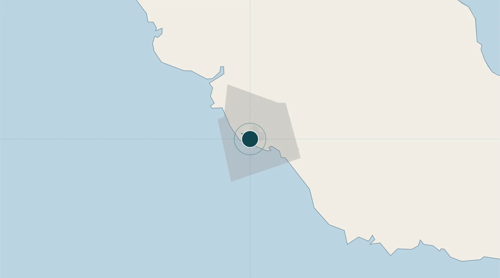
-9.4667°, 147.1333°
9.4 m
Channel depth
1
Container terminals
64.2
Port liner connectivity
Channel & Berth Profile
Pilotage, Tugs & Services
Pilotage compulsoryYES
Pilotage availableYES
Pilotage advisableYES
Local assistanceYES
Tug assistanceYES
Salvage tugsNO
Potable waterYES
Diesel bunkersYES
MedicalYES
Garbage disposalYES
Facilities & Capabilities
Container—
Ro-Ro—
Liquid bulk—
Dry bulk—
Oil terminal—
Break bulk—
Dry dockNO
RepairsNO
BunkeringYES
Rail link—
Dangerous cargo—
ISPS security—
Harbour Specifications
Harbour size
Small
Harbour type
Open Roadstead
Shelter
Fair
Water body
Coral Sea; South Pacific Ocean
Tidal range
2 m
Pilotage
Yes
Liner Connectivity
64.2
PLSCI
Port Liner Shipping Connectivity Index for Port Moresby, as published by UNCTAD for the latest available quarter. Higher values indicate stronger scheduled liner-shipping integration.
Shown relative to the highest per-port PLSCI in the dataset (1,657.9).
Location
Container Terminals · 1
MOTUKEA INTERNATIONAL TERMINAL (MIT)
MIT MOTUKEA INTERNATIONAL TERMINAL LTD. (MIT)
Nearby Logistics Neighbours
Cities
- 1Napa Napa3 km
- 2Motukea Island5 km
- 3Caution Bay27 km
- 4Kairuku96 km
- 5Vailala250 km
Airports
- 1Port Moresby Jacksons International Airport10 km
- 2Tapini Airport124 km
- 3Girua Airport149 km
- 4Kerema Airport224 km
- 5Tufi Airport244 km
Trade Zones
DatabookThe Record of Consolidated Knowledge
Papua New Guinea beyond logistics?