Specialized Zone · Papua New Guinea

Morobe Agricultural Special Economic Zone Under Development
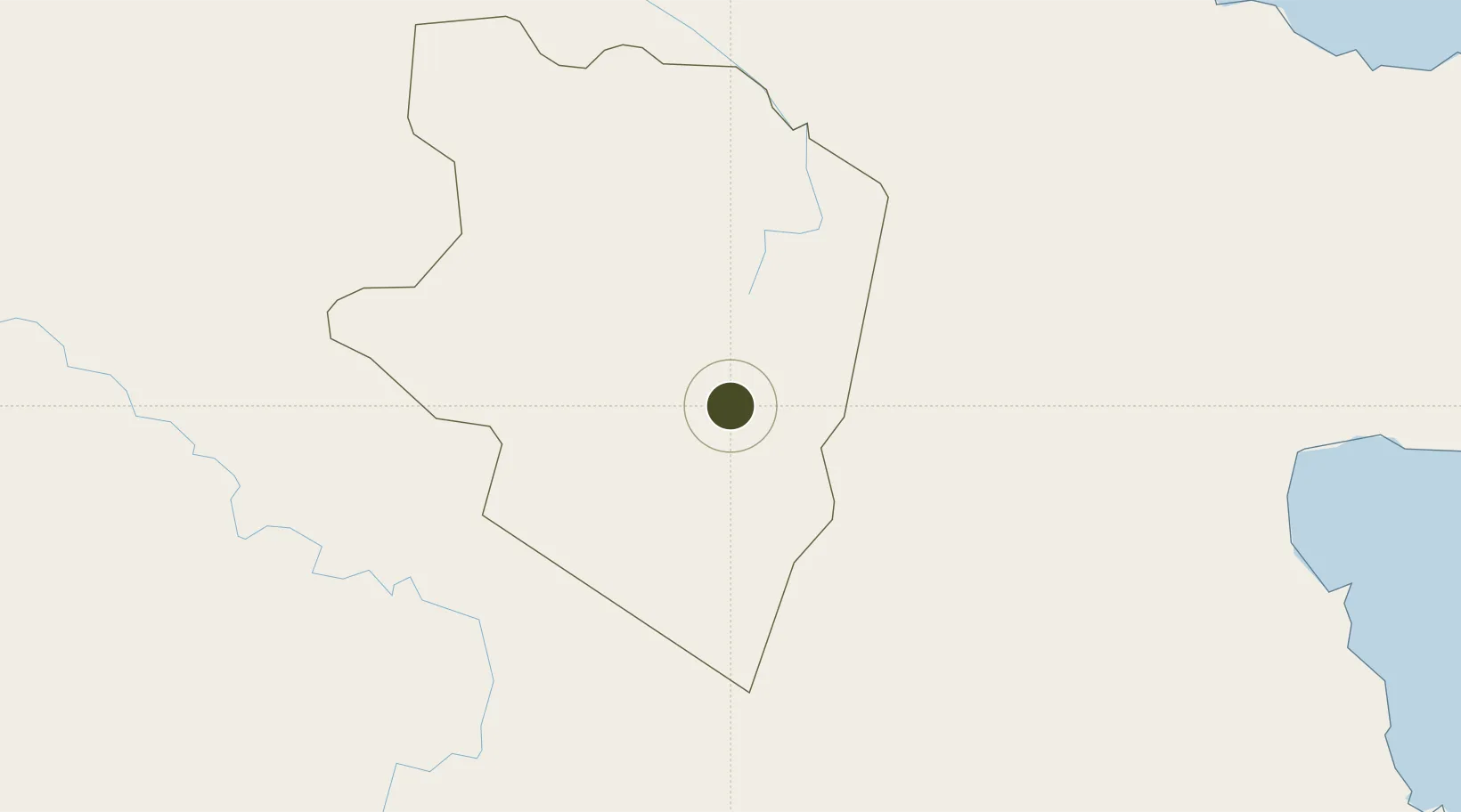
-6.6525°, 145.8076°
337 ha
Zone area
132.0 km
Nearest port
78.3 km
Nearest airport

Gateway access

Nearest neighbours — logibook spatial index (haversine) over the source coordinates

Zone profile

Zone type
Specialized Zone
Open Zone Map
Specialization
Agriculture
Open Zone Map
Region
Eastern Highlands
Open Zone Map
Status
Under Development
Open Zone Map
Management
Public
Open Zone Map
Operator
Morobe Special Economic Zone Authority
Open Zone Map
Legal framework
Special Economic Zones Authority Act 2019
Open Zone Map

Location

Location of ozm-3081
Natural Earth 10m (public domain) · Eastern Highlands · ozm-3081 · -6.65, 145.81GoogleOSMYandex

Nearby Logistics Neighbours

Ports
  1. 1Lae132 km
  2. 2Madang160 km
  3. 3Kumul211 km
  4. 4Port Moresby345 km
  5. 5Oro Bay385 km
Nearest neighbours — logibook spatial index (haversine) over the source coordinates
Airports
  1. 1Goroka Airport78 km
  2. 2Nadzab Tomodachi International Airport102 km
  3. 3Chimbu Airport116 km
  4. 4Baimuru Airport144 km
  5. 5Kerema Airport146 km
Nearest neighbours — logibook spatial index (haversine) over the source coordinates
Cities
  1. 1Watabung91 km
  2. 2Lae130 km
  3. 3Vailala150 km
  4. 4Madang160 km
  5. 5Kopi193 km
Nearest neighbours — logibook spatial index (haversine) over the source coordinates
Trade Zones
  1. 1Nadzab (Momase) Special Economic Zone110 km
  2. 2Ihu Special Economic Zone146 km
  3. 3Pacific Marine Industrial Zone159 km
  4. 4Ledger Atlas Special Economic Zone225 km
  5. 5Paga Hill Estate Special Economic Zone347 km
Nearest neighbours — logibook spatial index (haversine) over the source coordinates
DatabookThe Record of Consolidated Knowledge
Papua New Guinea beyond logistics?
Browse databook

All Sources

Trade ZonesOpen Zone Map
CC BY
Portsthe NGA World Port Index
Public domain (US gov)
AirportsOurAirports
Public domain
LocationsUN/LOCODE
UN/LOCODE — free
← Papua New Guinea trade zones