Channel & Berth Profile
Pilotage, Tugs & Services
Pilotage compulsoryYES
Pilotage availableYES
Tug assistanceYES
Salvage tugsNO
Potable waterNO
Diesel bunkersNO
MedicalYES
Facilities & Capabilities
Container—
Ro-Ro—
Liquid bulk—
Dry bulk—
Oil terminal—
Break bulk—
Dry dock—
Repairs—
BunkeringNO
Rail link—
Dangerous cargo—
ISPS security—
Harbour Specifications
Harbour size
Very Small
Harbour type
Open Roadstead
Shelter
Poor
Water body
Gulf of Papua; Coral Sea; South Pacific Ocean
Pilotage
Yes
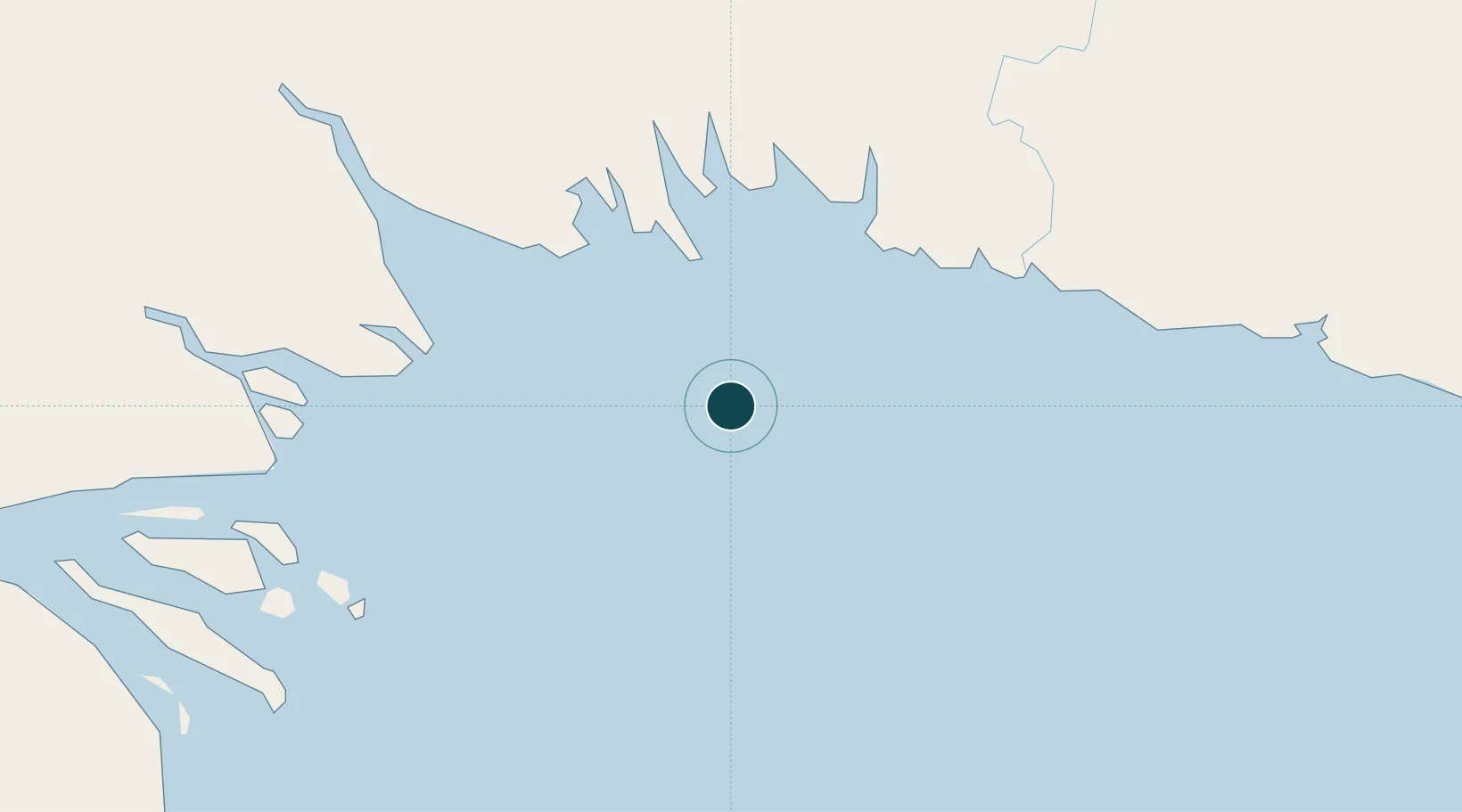
Location
Nearby Logistics Neighbours
Ports
- 1Daru185 km
- 2Lae308 km
- 3Port Moresby320 km
- 4Madang349 km
- 5Thursday Island378 km
Cities
- 1Kopi99 km
- 2Vailala99 km
- 3Dalrymple Islet217 km
- 4Kairuku231 km
- 5Watabung235 km
Airports
- 1Baimuru Airport73 km
- 2Kikori Airport83 km
- 3Kerema Airport134 km
- 4Balimo Airport180 km
- 5Daru Airport185 km
Trade Zones
DatabookThe Record of Consolidated Knowledge
Papua New Guinea beyond logistics?