Specialized Zone · Papua New Guinea

Ledger Atlas Special Economic Zone Active
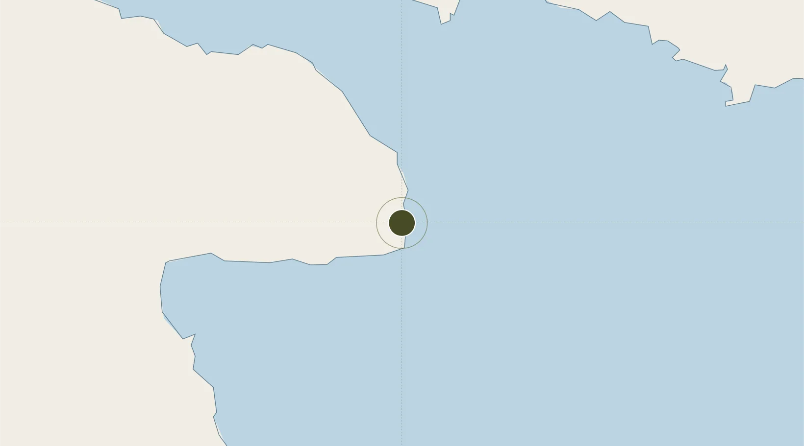
-6.5984°, 147.8445°
264 ha
Zone area
94.5 km
Nearest port
123.5 km
Nearest airport

Gateway access

Nearest neighbours — logibook spatial index (haversine) over the source coordinates

Zone profile

Zone type
Specialized Zone
Open Zone Map
Specialization
Tech
Open Zone Map
Region
Morobe
Open Zone Map
Status
Active
Open Zone Map
Management
Private
Open Zone Map
Operator
Finschhafen Special Economic Zone Authority
Open Zone Map
Legal framework
Special Economic Zones Authority Act 2019
Open Zone Map

Location

Location of ozm-3085
Natural Earth 10m (public domain) · Morobe · ozm-3085 · -6.60, 147.84GoogleOSMYandex

Nearby Logistics Neighbours

Ports
  1. 1Lae95 km
  2. 2Oro Bay264 km
  3. 3Madang272 km
  4. 4Port Moresby328 km
  5. 5Kimbe339 km
Nearest neighbours — logibook spatial index (haversine) over the source coordinates
Airports
  1. 1Nadzab Tomodachi International Airport124 km
  2. 2Tapini Airport217 km
  3. 3Girua Airport251 km
  4. 4Kerema Airport275 km
  5. 5Madang Airport275 km
Nearest neighbours — logibook spatial index (haversine) over the source coordinates
Cities
  1. 1Tami Island20 km
  2. 2Lae96 km
  3. 3Madang273 km
  4. 4Kimbe280 km
  5. 5Kairuku288 km
Nearest neighbours — logibook spatial index (haversine) over the source coordinates
Trade Zones
  1. 1Nadzab (Momase) Special Economic Zone116 km
  2. 2Morobe Agricultural Special Economic Zone225 km
  3. 3Pacific Marine Industrial Zone275 km
  4. 4Ihu Special Economic Zone307 km
  5. 5Paga Hill Estate Special Economic Zone330 km
Nearest neighbours — logibook spatial index (haversine) over the source coordinates
DatabookThe Record of Consolidated Knowledge
Papua New Guinea beyond logistics?
Browse databook

All Sources

Trade ZonesOpen Zone Map
CC BY
Portsthe NGA World Port Index
Public domain (US gov)
AirportsOurAirports
Public domain
LocationsUN/LOCODE
UN/LOCODE — free
← Papua New Guinea trade zones