Transport Functions
Port
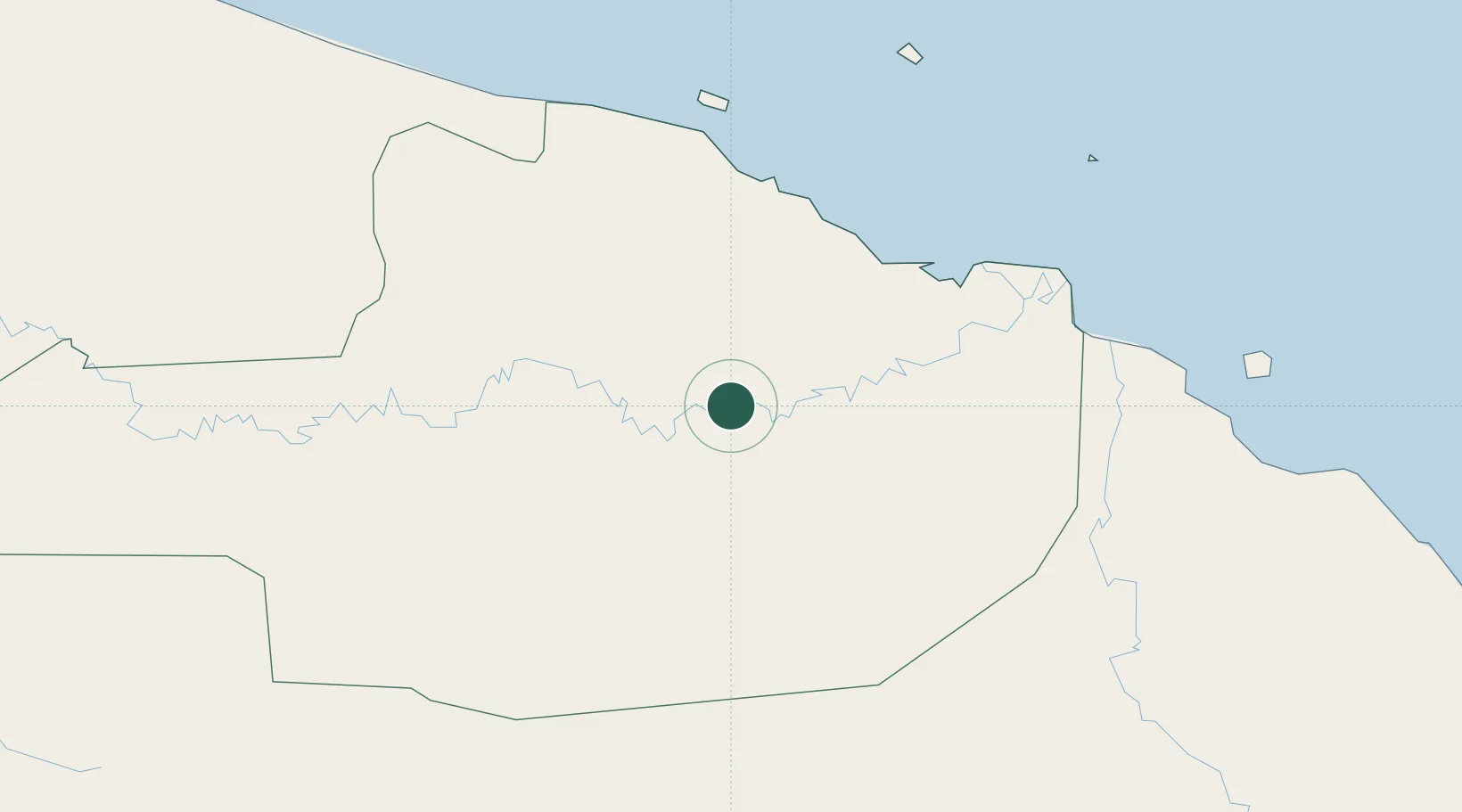
Hub Profile
Place type
Populated place
Region
East Sepik Province
Time zone
Pacific/Port_Moresby
Elevation
4 m
Location
Nearby Logistics Neighbours
Ports
- 1Wewak Harbor71 km
- 2Madang270 km
- 3Vanimo322 km
- 4Kumul447 km
- 5Lae470 km
Airports
- 1Wewak International Airport69 km
- 2Wapenamanda Airport163 km
- 3Tari Airport197 km
- 4Mount Hagen Kagamuga Airport197 km
- 5Mendi Airport217 km
Trade Zones
DatabookThe Record of Consolidated Knowledge
Papua New Guinea beyond logistics?