Transport Functions
Port
Road
Hub Profile
Place type
Populated place
Region
Eastern Highlands Province
Time zone
Pacific/Port_Moresby
Elevation
1,845 m
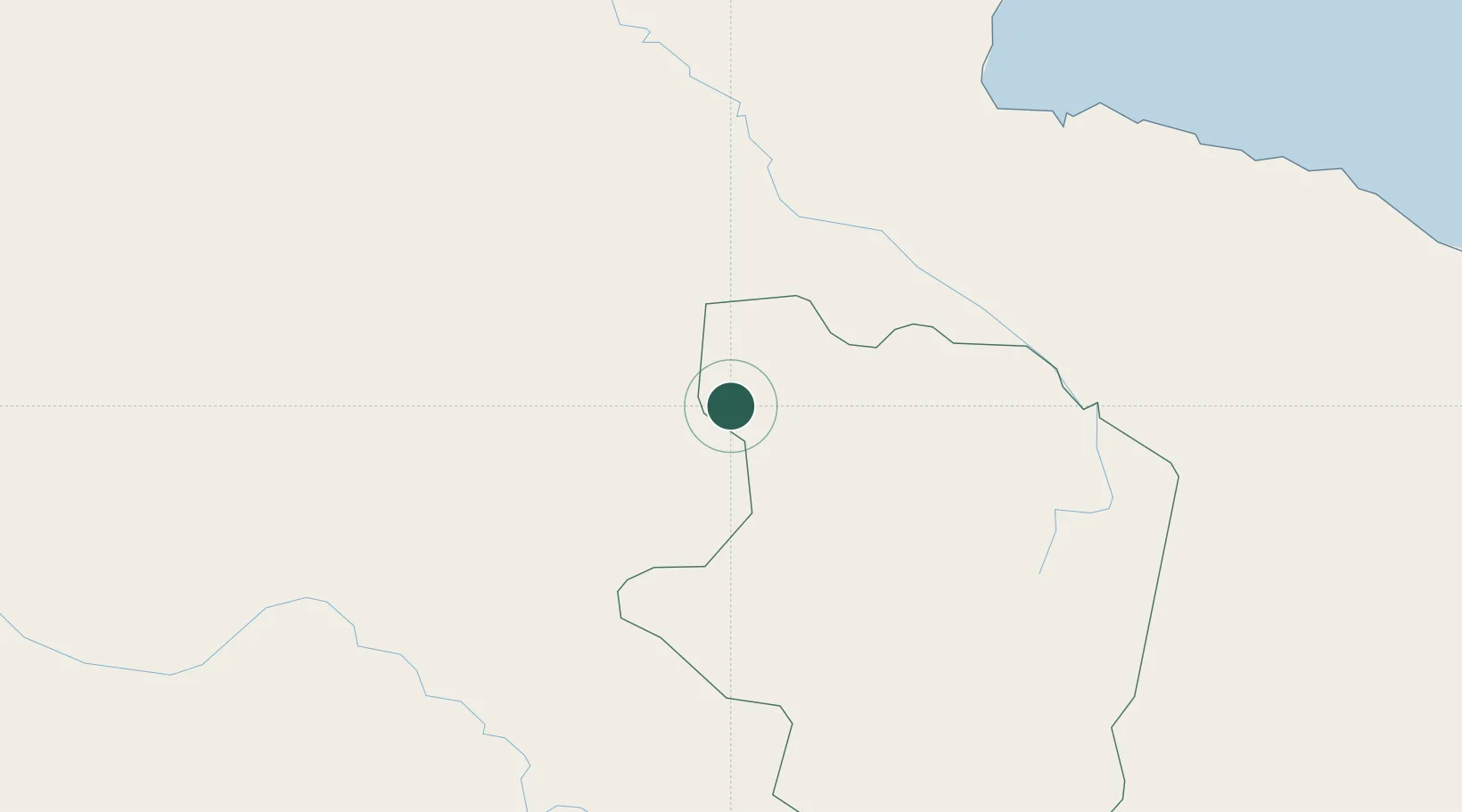
Location
Nearby Logistics Neighbours
Ports
- 1Madang117 km
- 2Lae210 km
- 3Kumul235 km
- 4Wewak Harbor330 km
- 5Daru399 km
Airports
- 1Goroka Airport19 km
- 2Chimbu Airport28 km
- 3Mount Hagen Kagamuga Airport105 km
- 4Madang Airport116 km
- 5Wapenamanda Airport155 km
Trade Zones
DatabookThe Record of Consolidated Knowledge
Papua New Guinea beyond logistics?