Export Processing Zone · Papua New Guinea

Nadzab (Momase) Special Economic Zone Under Development
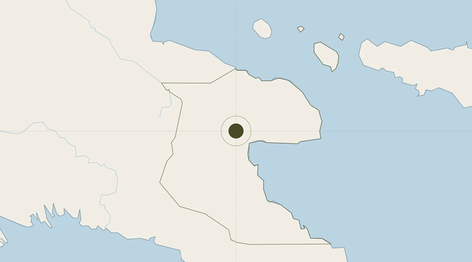
-6.5949°, 146.7977°
1,426 ha
Zone area
27.1 km
Nearest port
8.4 km
Nearest airport

Gateway access

Nearest neighbours — logibook spatial index (haversine) over the source coordinates

Zone profile

Zone type
Export Processing Zone
Open Zone Map
Region
Morobe
Open Zone Map
Status
Under Development
Open Zone Map
Management
Public
Open Zone Map
Operator
Nadzab Special Economic Zone Authority
Open Zone Map
Legal framework
Special Economic Zones Authority Act 2019
Open Zone Map

Location

Location of ozm-3076
Natural Earth 10m (public domain) · Morobe · ozm-3076 · -6.59, 146.80GoogleOSMYandex

Nearby Logistics Neighbours

Ports
  1. 1Lae27 km
  2. 2Madang188 km
  3. 3Kumul298 km
  4. 4Oro Bay315 km
  5. 5Port Moresby322 km
Nearest neighbours — logibook spatial index (haversine) over the source coordinates
Airports
  1. 1Nadzab Tomodachi International Airport8 km
  2. 2Goroka Airport166 km
  3. 3Kerema Airport190 km
  4. 4Madang Airport190 km
  5. 5Tapini Airport197 km
Nearest neighbours — logibook spatial index (haversine) over the source coordinates
Cities
  1. 1Lae26 km
  2. 2Tami Island123 km
  3. 3Watabung184 km
  4. 4Madang189 km
  5. 5Vailala212 km
Nearest neighbours — logibook spatial index (haversine) over the source coordinates
Trade Zones
  1. 1Morobe Agricultural Special Economic Zone110 km
  2. 2Ledger Atlas Special Economic Zone116 km
  3. 3Pacific Marine Industrial Zone190 km
  4. 4Ihu Special Economic Zone212 km
  5. 5Paga Hill Estate Special Economic Zone323 km
Nearest neighbours — logibook spatial index (haversine) over the source coordinates
DatabookThe Record of Consolidated Knowledge
Papua New Guinea beyond logistics?
Browse databook

All Sources

Trade ZonesOpen Zone Map
CC BY
Portsthe NGA World Port Index
Public domain (US gov)
AirportsOurAirports
Public domain
LocationsUN/LOCODE
UN/LOCODE — free
← Papua New Guinea trade zones