Seaport · Papua New Guinea
Wewak HarborPGWWK
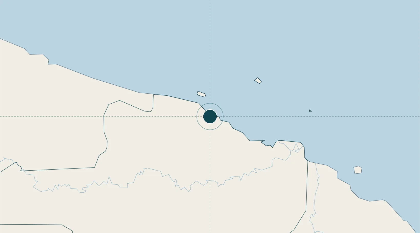
-3.5667°, 143.6333°
15.5 m
Channel depth
1
Container terminals
14.9
Port liner connectivity
Channel & Berth Profile
Pilotage, Tugs & Services
Pilotage compulsoryNO
Pilotage availableYES
Tug assistanceNO
Salvage tugsNO
Potable waterYES
Diesel bunkersYES
MedicalYES
Facilities & Capabilities
Container—
Ro-Ro—
Liquid bulk—
Dry bulk—
Oil terminal—
Break bulk—
Dry dock—
Repairs—
BunkeringYES
Rail link—
Dangerous cargo—
ISPS security—
Harbour Specifications
Harbour size
Small
Harbour type
Open Roadstead
Shelter
Fair
Water body
Bismarck Sea; South Pacific Ocean
Tidal range
1 m
Overhead limit
Yes
Pilotage
No
Liner Connectivity
14.9
PLSCI
Port Liner Shipping Connectivity Index for Wewak Harbor, as published by UNCTAD for the latest available quarter. Higher values indicate stronger scheduled liner-shipping integration.
Shown relative to the highest per-port PLSCI in the dataset (1,657.9).
Location
Container Terminals · 1
PORT OF WEWAK
PWWK PNG PORTS CORPORATION LIMITED
Nearby Logistics Neighbours
Airports
- 1Wewak International Airport4 km
- 2Wapenamanda Airport232 km
- 3Mount Hagen Kagamuga Airport262 km
- 4Tari Airport265 km
- 5Vanimo Airport276 km
Trade Zones
DatabookThe Record of Consolidated Knowledge
Papua New Guinea beyond logistics?