Free Trade Zone · Papua New Guinea

Ihu Special Economic Zone Under Development
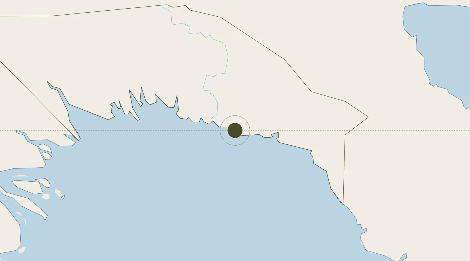
-7.8958°, 145.3887°
344 ha
Zone area
93.3 km
Nearest port
42.8 km
Nearest airport

Gateway access

Nearest neighbours — logibook spatial index (haversine) over the source coordinates

Zone profile

Zone type
Free Trade Zone
Open Zone Map
Region
Gulf
Open Zone Map
Status
Under Development
Open Zone Map
Management
Public
Open Zone Map
Operator
Ihu Special Economic Zone Authority
Open Zone Map
Legal framework
Special Economic Zones Authority Act 2019
Open Zone Map

Location

Location of ozm-3078
Natural Earth 10m (public domain) · Gulf · ozm-3078 · -7.90, 145.39GoogleOSMYandex

Nearby Logistics Neighbours

Ports
  1. 1Kumul93 km
  2. 2Lae220 km
  3. 3Port Moresby259 km
  4. 4Daru274 km
  5. 5Madang302 km
Nearest neighbours — logibook spatial index (haversine) over the source coordinates
Airports
  1. 1Kerema Airport43 km
  2. 2Baimuru Airport77 km
  3. 3Kikori Airport136 km
  4. 4Tapini Airport184 km
  5. 5Goroka Airport202 km
Nearest neighbours — logibook spatial index (haversine) over the source coordinates
Cities
  1. 1Vailala9 km
  2. 2Kumul93 km
  3. 3Kopi149 km
  4. 4Kairuku164 km
  5. 5Watabung202 km
Nearest neighbours — logibook spatial index (haversine) over the source coordinates
Trade Zones
  1. 1Morobe Agricultural Special Economic Zone146 km
  2. 2Nadzab (Momase) Special Economic Zone212 km
  3. 3Paga Hill Estate Special Economic Zone262 km
  4. 4Pacific Marine Industrial Zone301 km
  5. 5Ledger Atlas Special Economic Zone307 km
Nearest neighbours — logibook spatial index (haversine) over the source coordinates
DatabookThe Record of Consolidated Knowledge
Papua New Guinea beyond logistics?
Browse databook

All Sources

Trade ZonesOpen Zone Map
CC BY
Portsthe NGA World Port Index
Public domain (US gov)
AirportsOurAirports
Public domain
LocationsUN/LOCODE
UN/LOCODE — free
← Papua New Guinea trade zones