Free Trade Zone · Papua New Guinea

Pacific Marine Industrial Zone Under Development
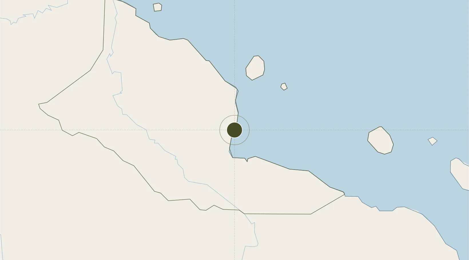
-5.2212°, 145.7772°
4.4 km
Nearest port
2.0 km
Nearest airport

Gateway access

Nearest neighbours — logibook spatial index (haversine) over the source coordinates

Zone profile

Zone type
Free Trade Zone
Open Zone Map
Region
Madang
Open Zone Map
Status
Under Development
Open Zone Map
Management
Public
Open Zone Map
Operator
China Shenyang International Economics and Technical Cooperation Corporation
Open Zone Map
Legal framework
Special Economic Zones Authority Act 2019
Open Zone Map

Location

Location of ozm-3079
Natural Earth 10m (public domain) · Madang · ozm-3079 · -5.22, 145.78GoogleOSMYandex

Nearby Logistics Neighbours

Ports
  1. 1Madang4 km
  2. 2Lae216 km
  3. 3Wewak Harbor301 km
  4. 4Kumul347 km
  5. 5Lorengau393 km
Nearest neighbours — logibook spatial index (haversine) over the source coordinates
Airports
  1. 1Madang Airport2 km
  2. 2Goroka Airport105 km
  3. 3Chimbu Airport126 km
  4. 4Mount Hagen Kagamuga Airport177 km
  5. 5Nadzab Tomodachi International Airport183 km
Nearest neighbours — logibook spatial index (haversine) over the source coordinates
Cities
  1. 1Madang3 km
  2. 2Karkar Is69 km
  3. 3Watabung114 km
  4. 4Lae215 km
  5. 5Tambanum267 km
Nearest neighbours — logibook spatial index (haversine) over the source coordinates
Trade Zones
  1. 1Morobe Agricultural Special Economic Zone159 km
  2. 2Nadzab (Momase) Special Economic Zone190 km
  3. 3Ledger Atlas Special Economic Zone275 km
  4. 4Ihu Special Economic Zone301 km
  5. 5Sepik Special Economic Zone475 km
Nearest neighbours — logibook spatial index (haversine) over the source coordinates
DatabookThe Record of Consolidated Knowledge
Papua New Guinea beyond logistics?
Browse databook

All Sources

Trade ZonesOpen Zone Map
CC BY
Portsthe NGA World Port Index
Public domain (US gov)
AirportsOurAirports
Public domain
LocationsUN/LOCODE
UN/LOCODE — free
← Papua New Guinea trade zones