Transport Functions
Port
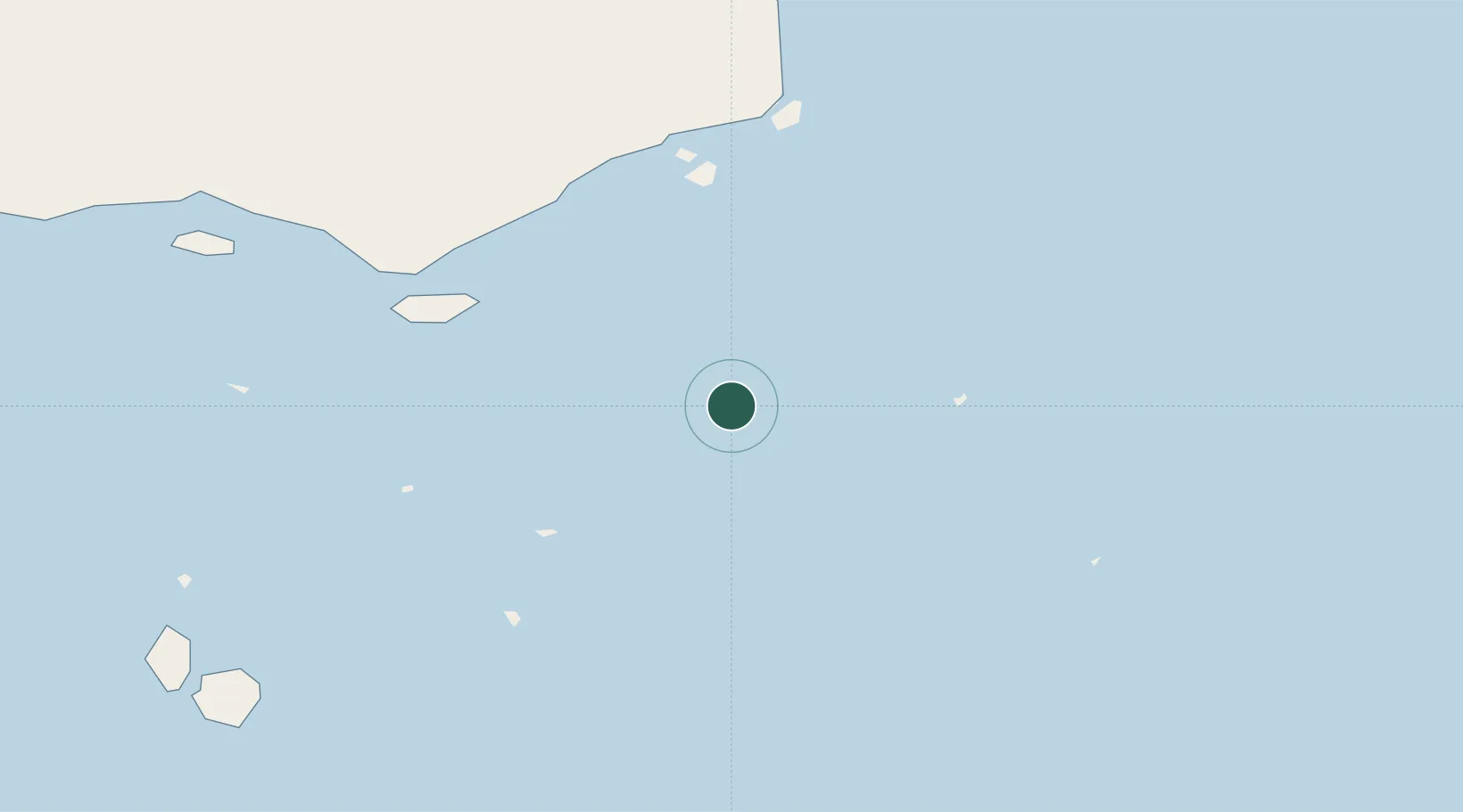
Location
Nearby Logistics Neighbours
Cities
- 1Saibai79 km
- 2Boigu Island125 km
- 3Booby Island188 km
- 4Kumul217 km
- 5Kopi274 km
Ports
- 1Daru60 km
- 2Thursday Island161 km
- 3Kumul217 km
- 4Merauke344 km
- 5Weipa375 km
Airports
- 1Yorke Island Airport21 km
- 2Darnley Island Airport53 km
- 3Coconut Island Airport56 km
- 4Daru Airport58 km
- 5Yam Island Airport67 km
Trade Zones
DatabookThe Record of Consolidated Knowledge
Australia beyond logistics?