Transport Functions
Port
Road
Hub Profile
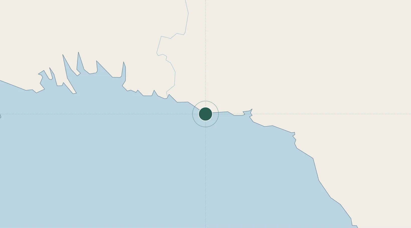
Place type
Populated place
Region
Gulf Province
Time zone
Pacific/Port_Moresby
Elevation
4 m
Location
Nearby Logistics Neighbours
Ports
- 1Kumul99 km
- 2Lae218 km
- 3Port Moresby250 km
- 4Daru277 km
- 5Madang307 km
Airports
- 1Kerema Airport35 km
- 2Baimuru Airport86 km
- 3Kikori Airport145 km
- 4Tapini Airport175 km
- 5Goroka Airport208 km
Trade Zones
DatabookThe Record of Consolidated Knowledge
Papua New Guinea beyond logistics?