Runway & Layout

Navaids
KIK NDB Kikori 308 kHz
Airport Specifications
IATA code
KRI
ICAO code
AYKK
Airport class
Small airport
Scheduled service
Yes
Served city
Kikori
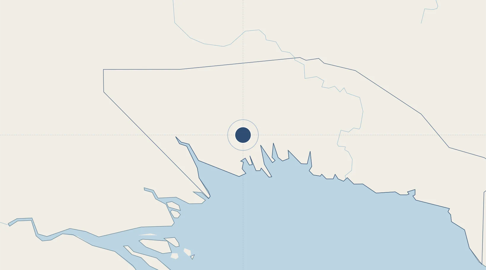
Location
Nearby Logistics Neighbours
Airports
- 1Baimuru Airport64 km
- 2Sasereme Airport154 km
- 3Mendi Airport156 km
- 4Balimo Airport161 km
- 5Moro Airport163 km
Cities
- 1Kopi16 km
- 2Kumul83 km
- 3Vailala145 km
- 4Watabung183 km
- 5Dalrymple Islet264 km
Ports
- 1Kumul83 km
- 2Daru216 km
- 3Madang300 km
- 4Lae313 km
- 5Port Moresby390 km
Trade Zones
DatabookThe Record of Consolidated Knowledge
Papua New Guinea beyond logistics?