Transport Functions
Port
Road
Hub Profile
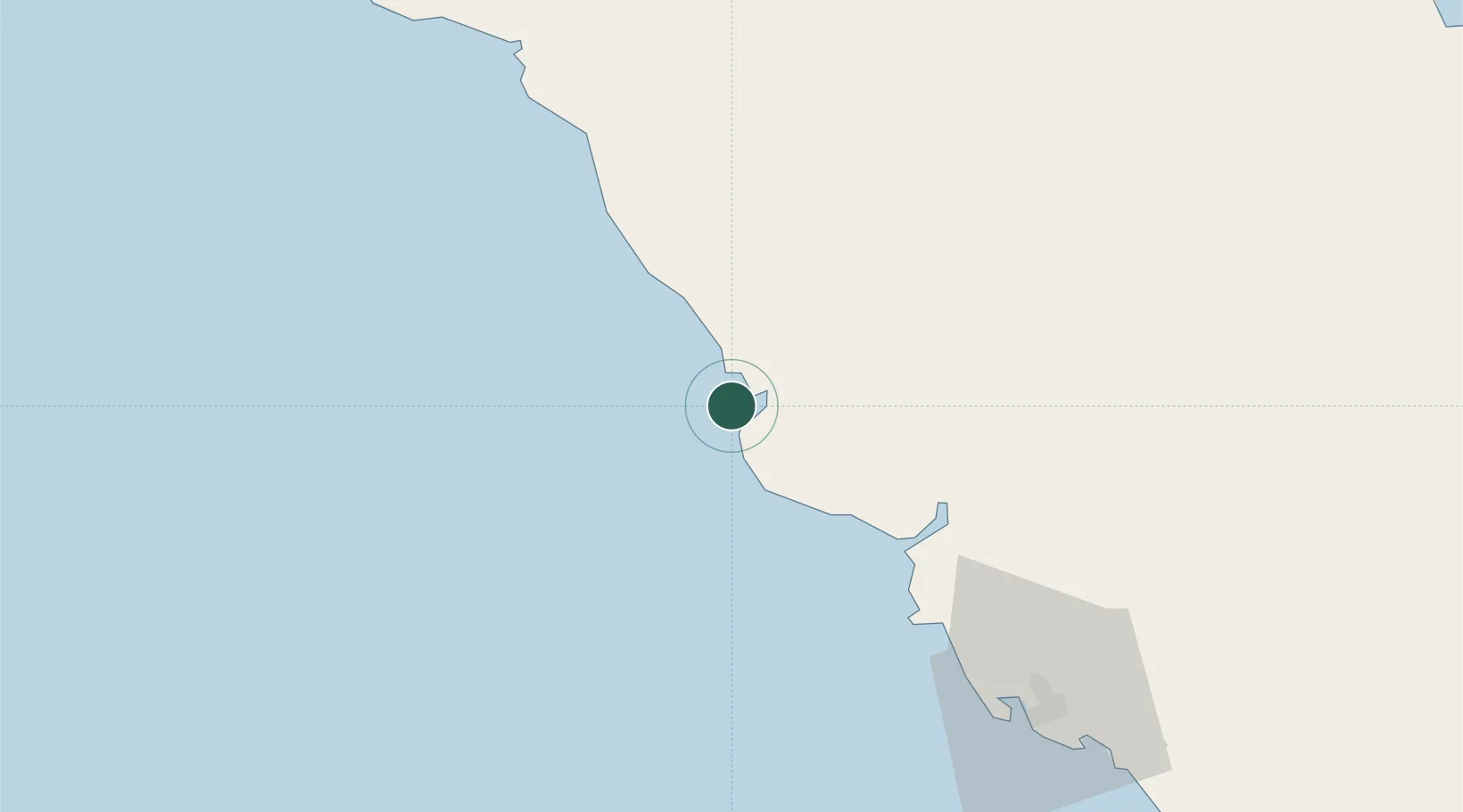
Place type
Populated place
Region
Central Province
Time zone
Pacific/Port_Moresby
Elevation
16 m
Location
Nearby Logistics Neighbours
Cities
- 1Caution Bay71 km
- 2Motukea Island91 km
- 3Napa Napa94 km
- 4Port Moresby94 km
- 5Vailala154 km
Ports
- 1Port Moresby96 km
- 2Oro Bay214 km
- 3Kumul231 km
- 4Lae239 km
- 5Daru367 km
Airports
- 1Tapini Airport73 km
- 2Port Moresby Jacksons International Airport101 km
- 3Kerema Airport128 km
- 4Girua Airport195 km
- 5Baimuru Airport240 km
Trade Zones
DatabookThe Record of Consolidated Knowledge
Papua New Guinea beyond logistics?