Medium airport · Papua New Guinea
Baimuru AirportAYBA
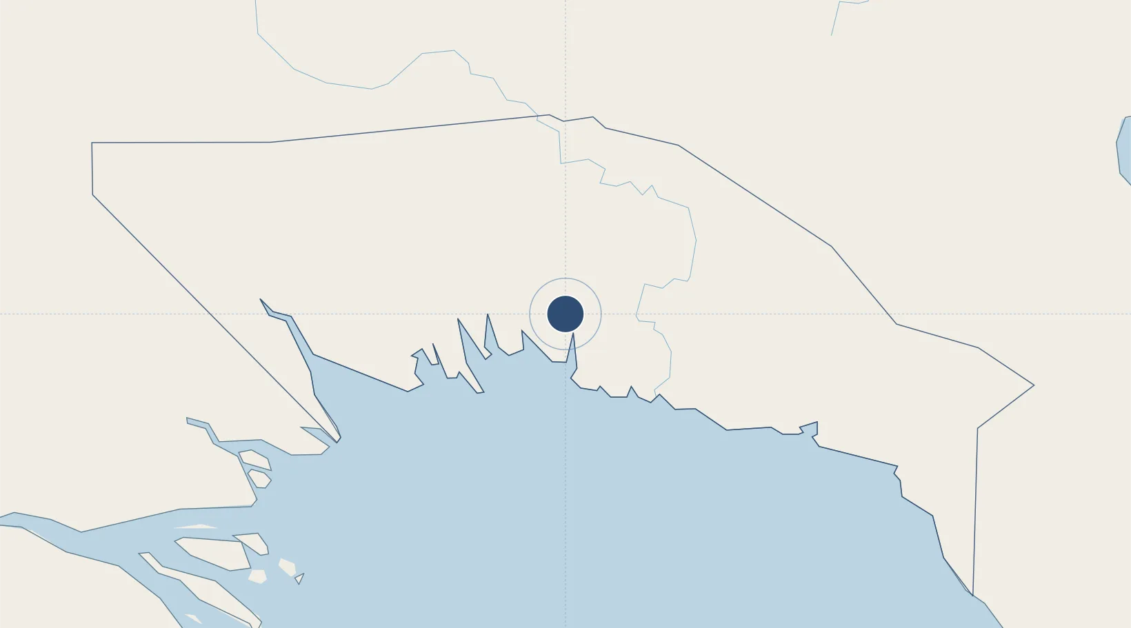
-7.4970°, 144.8218°
2,953 ft
Longest runway
1
Runways
27 ft
Elevation
Runway & Layout

Runways · 1
| Runway | Dimensions | Surface | True heading | Lit |
|---|---|---|---|---|
| 04/22 | 2,953 × 148ft | Grassed black clay | — | — |
Airport Specifications
IATA code
VMU
ICAO code
AYBA
Airport class
Medium airport
Scheduled service
Yes
Runway surface
Grassed black clay
Served city
Baimuru
Location
Nearby Logistics Neighbours
Airports
- 1Kikori Airport64 km
- 2Kerema Airport117 km
- 3Chimbu Airport165 km
- 4Goroka Airport170 km
- 5Mount Hagen Kagamuga Airport194 km
Ports
- 1Kumul73 km
- 2Daru250 km
- 3Lae255 km
- 4Madang276 km
- 5Port Moresby336 km
Trade Zones
DatabookThe Record of Consolidated Knowledge
Papua New Guinea beyond logistics?