Transport Functions
Port
Fixed Transport
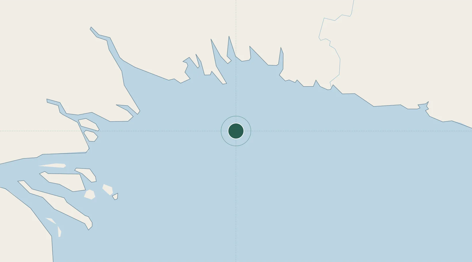
Location
Nearby Logistics Neighbours
Cities
- 1Kopi99 km
- 2Vailala99 km
- 3Dalrymple Islet217 km
- 4Kairuku231 km
- 5Watabung235 km
Ports
- 1Daru185 km
- 2Lae308 km
- 3Port Moresby320 km
- 4Madang349 km
- 5Thursday Island378 km
Airports
- 1Baimuru Airport73 km
- 2Kikori Airport83 km
- 3Kerema Airport134 km
- 4Balimo Airport180 km
- 5Daru Airport185 km
Trade Zones
DatabookThe Record of Consolidated Knowledge
Papua New Guinea beyond logistics?