Medium airport · Papua New Guinea
Kerema AirportAYKM
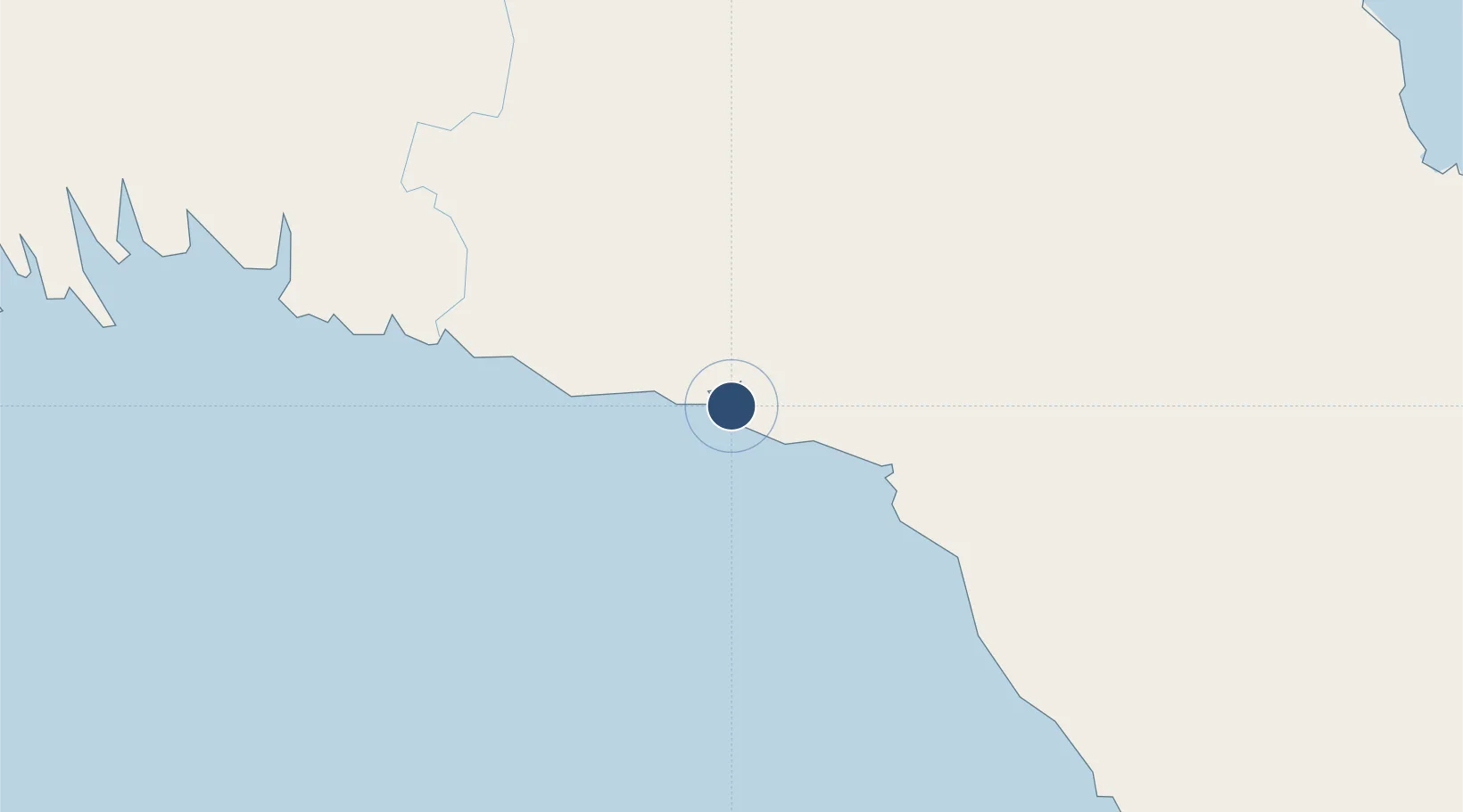
-7.9636°, 145.7710°
3,044 ft
Longest runway
1
Runways
10 ft
Elevation
Runway & Layout

Radio Frequencies
FSS
120.9 MHz
MORESBY
Navaids
KRM NDB-DME Kerema 0.40 MHz
Runways · 1
| Runway | Dimensions | Surface | True heading | Lit |
|---|---|---|---|---|
| 14/32 | 3,044 × 60ft | Asphalt | 146° | — |
Airport Specifications
IATA code
KMA
ICAO code
AYKM
Airport class
Medium airport
Scheduled service
Yes
Runway surface
Asphalt
Served city
Kerema
Location
Nearby Logistics Neighbours
Airports
- 1Baimuru Airport117 km
- 2Tapini Airport141 km
- 3Kikori Airport178 km
- 4Nadzab Tomodachi International Airport188 km
- 5Goroka Airport213 km
Ports
- 1Kumul134 km
- 2Lae193 km
- 3Port Moresby224 km
- 4Madang306 km
- 5Daru308 km
Trade Zones
DatabookThe Record of Consolidated Knowledge
Papua New Guinea beyond logistics?