Transport Functions
Port
Hub Profile
Place type
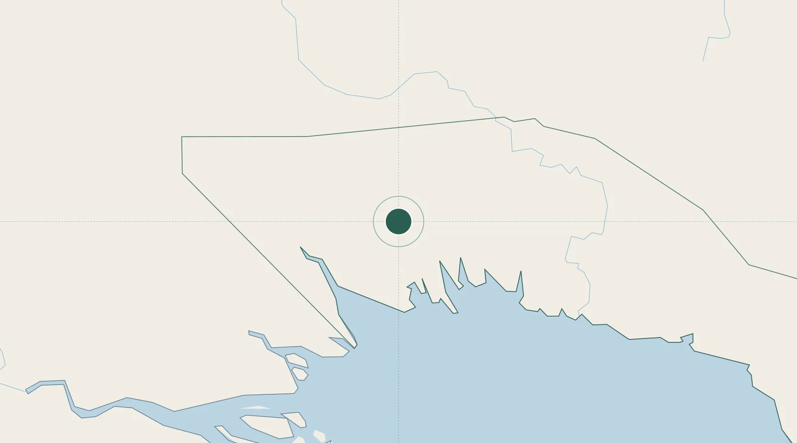
Populated place
Region
Gulf Province
Time zone
Pacific/Port_Moresby
Elevation
26 m
Location
Nearby Logistics Neighbours
Cities
- 1Kumul99 km
- 2Vailala157 km
- 3Watabung177 km
- 4Dalrymple Islet274 km
- 5Saibai289 km
Ports
- 1Kumul99 km
- 2Daru224 km
- 3Madang294 km
- 4Lae317 km
- 5Port Moresby404 km
Airports
- 1Kikori Airport16 km
- 2Baimuru Airport74 km
- 3Mendi Airport141 km
- 4Moro Airport147 km
- 5Sasereme Airport149 km
Trade Zones
DatabookThe Record of Consolidated Knowledge
Papua New Guinea beyond logistics?