Channel & Berth Profile
Pilotage, Tugs & Services
Pilotage compulsoryNO
Pilotage availableYES
Pilotage advisableYES
Local assistanceYES
Tug assistanceYES
Salvage tugsNO
Potable waterYES
Diesel bunkersYES
MedicalYES
Facilities & Capabilities
Container—
Ro-Ro—
Liquid bulk—
Dry bulk—
Oil terminal—
Break bulk—
Dry dock—
RepairsNO
BunkeringYES
Rail link—
Dangerous cargo—
ISPS security—
Harbour Specifications
Harbour size
Very Small
Harbour type
Open Roadstead
Shelter
Fair
Water body
Coral Sea; South Pacific Ocean
Tidal range
4 m
Overhead limit
Yes
Pilotage
No
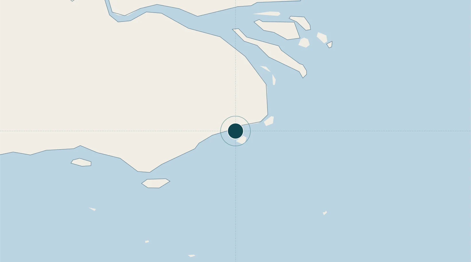
Location
Nearby Logistics Neighbours
Ports
- 1Kumul185 km
- 2Thursday Island200 km
- 3Merauke316 km
- 4Weipa426 km
- 5Port Moresby434 km
Cities
- 1Dalrymple Islet60 km
- 2Saibai73 km
- 3Boigu Island110 km
- 4Kumul185 km
- 5Booby Island221 km
Airports
- 1Daru Airport2 km
- 2Saibai Island Airport72 km
- 3Yorke Island Airport80 km
- 4Darnley Island Airport85 km
- 5Yam Island Airport104 km
Trade Zones
DatabookThe Record of Consolidated Knowledge
Papua New Guinea beyond logistics?