Runway & Layout

Airport Specifications
IATA code
OPU
ICAO code
AYBM
Airport class
Medium airport
Scheduled service
Yes
Served city
Balimo
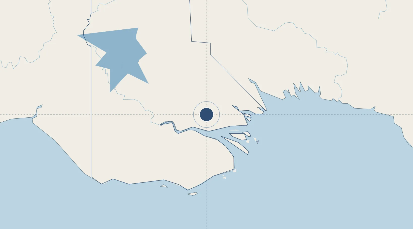
Location
Nearby Logistics Neighbours
Airports
- 1Sasereme Airport48 km
- 2Daru Airport119 km
- 3Saibai Island Airport152 km
- 4Boigu Island Airport153 km
- 5Kikori Airport161 km
Cities
- 1Saibai152 km
- 2Boigu Island157 km
- 3Kopi161 km
- 4Dalrymple Islet177 km
- 5Kumul180 km
Ports
- 1Daru117 km
- 2Kumul180 km
- 3Merauke285 km
- 4Thursday Island293 km
- 5Madang448 km
Trade Zones
DatabookThe Record of Consolidated Knowledge
Papua New Guinea beyond logistics?