Charter City · Papua New Guinea

Paga Hill Estate Special Economic Zone Active
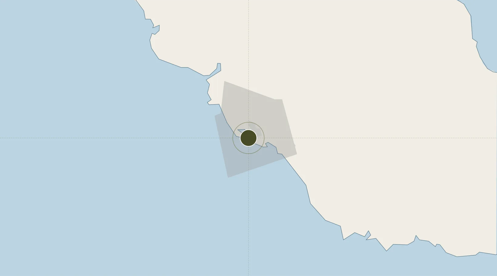
-9.4829°, 147.1439°
20 ha
Zone area
2.1 km
Nearest port
9.4 km
Nearest airport

Gateway access

Nearest neighbours — logibook spatial index (haversine) over the source coordinates

Zone profile

Zone type
Charter City
Open Zone Map
Specialization
Tourism
Open Zone Map
Region
National Capital District
Open Zone Map
Status
Active
Open Zone Map
Management
Private
Open Zone Map
Operator
Paga Hill Development Company (PNG) Ltd.
Open Zone Map
Legal framework
Special Economic Zones Authority Act 2019
Open Zone Map

Location

Location of ozm-3086
Natural Earth 10m (public domain) · National Capital District · ozm-3086 · -9.48, 147.14GoogleOSMYandex

Nearby Logistics Neighbours

Ports
  1. 1Port Moresby2 km
  2. 2Oro Bay161 km
  3. 3Lae306 km
  4. 4Kumul322 km
  5. 5Alotoa374 km
Nearest neighbours — logibook spatial index (haversine) over the source coordinates
Airports
  1. 1Port Moresby Jacksons International Airport9 km
  2. 2Tapini Airport126 km
  3. 3Girua Airport149 km
  4. 4Kerema Airport227 km
  5. 5Tufi Airport243 km
Nearest neighbours — logibook spatial index (haversine) over the source coordinates
Cities
  1. 1Napa Napa5 km
  2. 2Port Moresby5 km
  3. 3Motukea Island7 km
  4. 4Caution Bay29 km
  5. 5Kairuku99 km
Nearest neighbours — logibook spatial index (haversine) over the source coordinates
Trade Zones
  1. 1Ihu Special Economic Zone262 km
  2. 2Nadzab (Momase) Special Economic Zone323 km
  3. 3Ledger Atlas Special Economic Zone330 km
  4. 4Morobe Agricultural Special Economic Zone347 km
  5. 5Pacific Marine Industrial Zone497 km
Nearest neighbours — logibook spatial index (haversine) over the source coordinates
DatabookThe Record of Consolidated Knowledge
Papua New Guinea beyond logistics?
Browse databook

All Sources

Trade ZonesOpen Zone Map
CC BY
Portsthe NGA World Port Index
Public domain (US gov)
AirportsOurAirports
Public domain
LocationsUN/LOCODE
UN/LOCODE — free
← Papua New Guinea trade zones