Medium airport · Papua New Guinea
Daru AirportAYDU
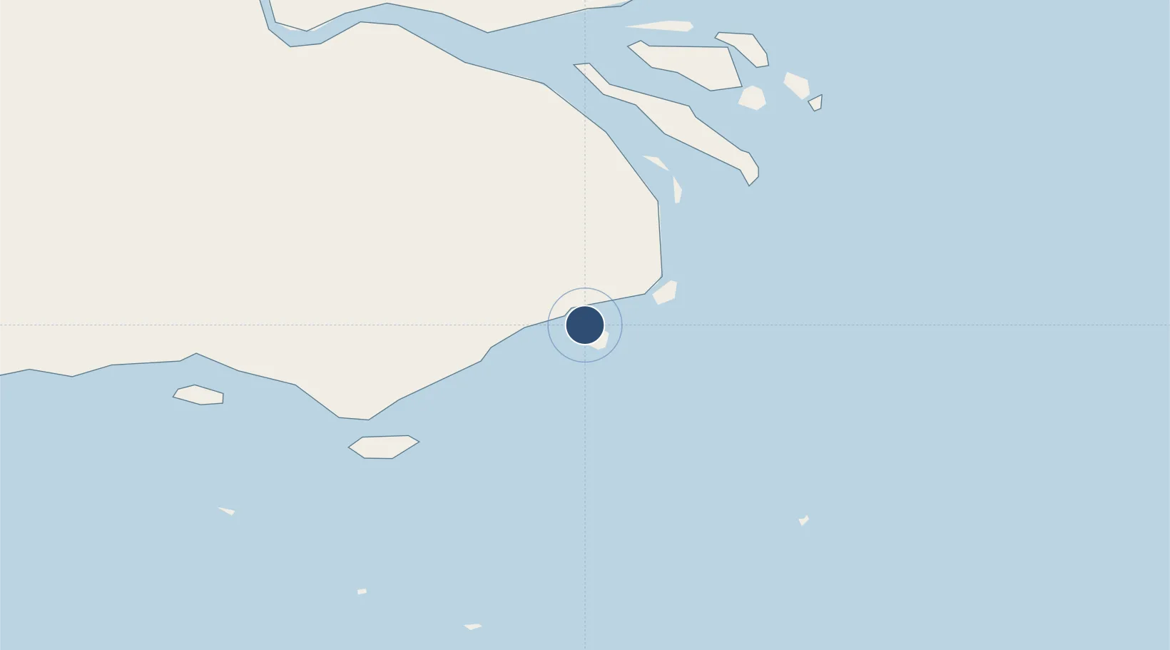
-9.0868°, 143.2080°
4,593 ft
Longest runway
1
Runways
20 ft
Elevation
Runway & Layout

Radio Frequencies
FSS
124.9 MHz
MORESBY CNTR
Navaids
DAU NDB-DME Daru 0.29 MHz
Runways · 1
| Runway | Dimensions | Surface | True heading | Lit |
|---|---|---|---|---|
| 14/32 | 4,593 × 98ft | Asphalt | 135° | — |
Airport Specifications
IATA code
DAU
ICAO code
AYDU
Airport class
Medium airport
Scheduled service
Yes
Runway surface
Asphalt
Served city
Daru
Location
Nearby Logistics Neighbours
Airports
- 1Saibai Island Airport72 km
- 2Yorke Island Airport77 km
- 3Darnley Island Airport83 km
- 4Yam Island Airport102 km
- 5Coconut Island Airport108 km
Cities
- 1Dalrymple Islet58 km
- 2Saibai73 km
- 3Boigu Island111 km
- 4Kumul185 km
- 5Booby Island220 km
Ports
- 1Daru2 km
- 2Kumul185 km
- 3Thursday Island199 km
- 4Merauke318 km
- 5Weipa424 km
Trade Zones
DatabookThe Record of Consolidated Knowledge
Papua New Guinea beyond logistics?