Channel & Berth Profile
Pilotage, Tugs & Services
Pilotage compulsoryNO
Pilotage availableYES
Pilotage advisableYES
Tug assistanceNO
Salvage tugsNO
Potable waterYES
Diesel bunkersYES
MedicalYES
Facilities & Capabilities
Container—
Ro-Ro—
Liquid bulk—
Dry bulk—
Oil terminal—
Break bulk—
Dry dock—
RepairsNO
BunkeringYES
Rail linkYES
Dangerous cargo—
ISPS security—
Harbour Specifications
Harbour size
Very Small
Harbour type
Coastal (Natural)
Shelter
Good
Water body
North Atlantic Ocean
Tidal range
4 m
Pilotage
No
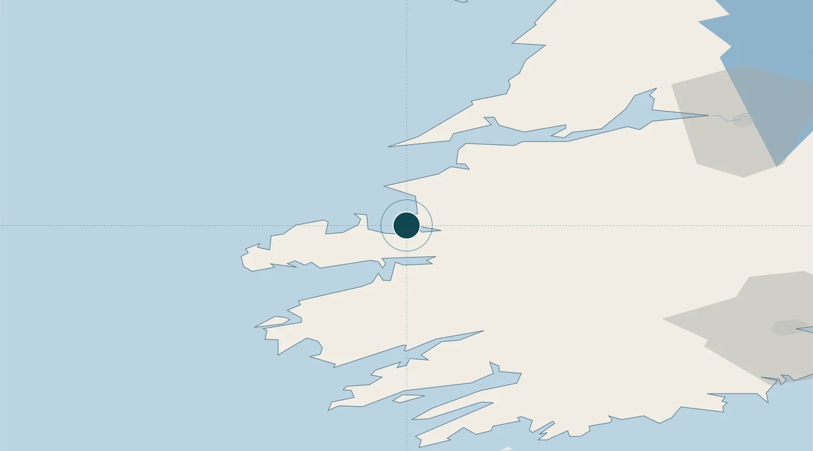
Location
Nearby Logistics Neighbours
Ports
- 1Kilrush48 km
- 2Tarbert49 km
- 3Foynes64 km
- 4Castletown Bearhaven69 km
- 5Bantry71 km
Cities
- 1Farranfore24 km
- 2Castleisland28 km
- 3Ballydavid33 km
- 4Wedlenstedt36 km
- 5Cahirciveen43 km
Airports
- 1Kerry Airport25 km
- 2Shannon Airport80 km
- 3Inisheer Aerodrome92 km
- 4Inishmaan Aerodrome94 km
- 5Inishmore Aerodrome95 km
Trade Zones
DatabookThe Record of Consolidated Knowledge
Ireland beyond logistics?