Transport Functions
Port
Road
Hub Profile
Region
NI
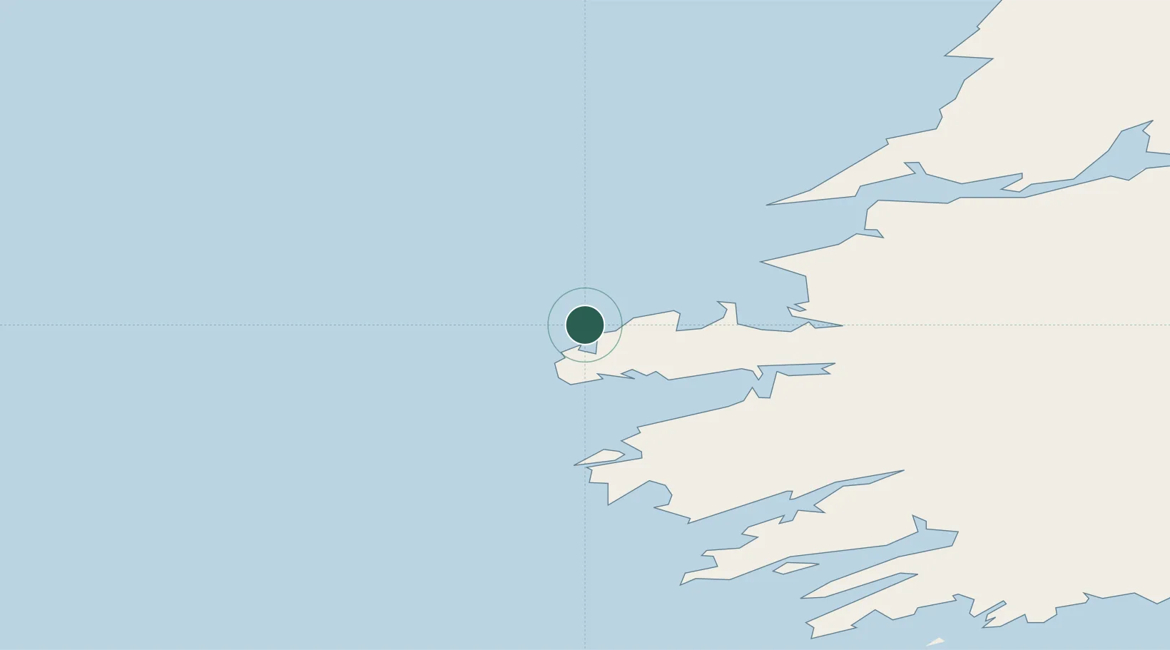
Location
Nearby Logistics Neighbours
Cities
- 1Ballydavid5 km
- 2Cahirciveen36 km
- 3Fenit36 km
- 4Farranfore59 km
- 5Castleisland64 km
Ports
- 1Fenit36 km
- 2Kilrush74 km
- 3Castletown Bearhaven75 km
- 4Tarbert79 km
- 5Bantry91 km
Airports
- 1Kerry Airport60 km
- 2Inishmore Aerodrome108 km
- 3Inisheer Aerodrome109 km
- 4Inishmaan Aerodrome109 km
- 5Shannon Airport112 km
Trade Zones
DatabookThe Record of Consolidated Knowledge
Germany beyond logistics?