Large airport · Ireland
Shannon AirportEINN
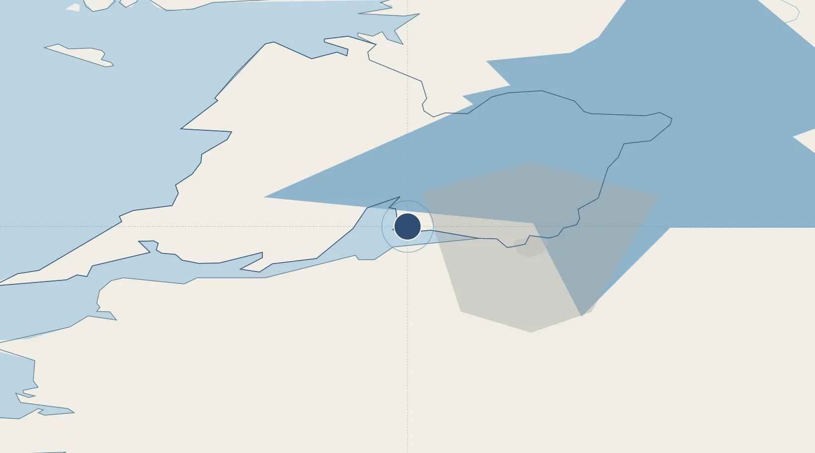
52.7020°, -8.9248°
10,495 ft
Longest runway
1
Runways
46 ft
Elevation
Runway & Layout

Radio Frequencies
ATIS
130.95 MHz
TWR
118.7 MHz
GND
121.8 MHz
APP
120.2 MHz
Navaids
ENS NDB Ennis 352 kHz
FOY NDB Foynes 395 kHz
SHA VOR-DME Shannon 113.30 MHz
Runways · 1
| Runway | Dimensions | Surface | True heading | Lit |
|---|---|---|---|---|
| 06/24 | 10,495 × 148ft | Asphalt | 052° | ✓ |
Airport Specifications
IATA code
SNN
ICAO code
EINN
Airport class
Large airport
Scheduled service
Yes
Runway surface
Asphalt
Served city
Shannon
Location
Nearby Logistics Neighbours
Airports
- 1Inisheer Aerodrome56 km
- 2Inishmaan Aerodrome61 km
- 3Inishmore Aerodrome66 km
- 4Connemara Regional Airport69 km
- 5Kerry Airport71 km
Cities
- 1Shannon5 km
- 2Clarecastle13 km
- 3Rathkeale21 km
- 4Ballina35 km
- 5Ennistymon35 km
Trade Zones
DatabookThe Record of Consolidated Knowledge
Ireland beyond logistics?