Channel & Berth Profile
Pilotage, Tugs & Services
Pilotage compulsoryYES
Pilotage availableYES
Pilotage advisableYES
Tug assistanceYES
Salvage tugsYES
Potable waterYES
Diesel bunkersYES
MedicalYES
Garbage disposalYES
Facilities & Capabilities
Container—
Ro-Ro—
Liquid bulk—
Dry bulk—
Oil terminal—
Break bulk—
Dry dock—
Repairs—
BunkeringYES
Rail linkYES
Dangerous cargo—
ISPS security—
Harbour Specifications
Harbour size
Very Small
Harbour type
Coastal (Natural)
Shelter
Excellent
Water body
North Atlantic Ocean
Tidal range
4 m
Pilotage
Yes
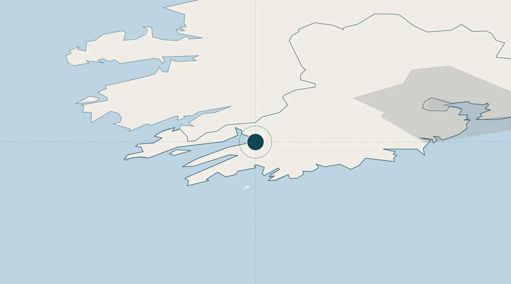
Location
Nearby Logistics Neighbours
Ports
- 1Castletown Bearhaven32 km
- 2Fenit71 km
- 3Cobh81 km
- 4Cork84 km
- 5Tarbert100 km
Cities
- 1Bantry0 km
- 2Glengarriff10 km
- 3Bishops Village17 km
- 4Skull19 km
- 5Unionhall26 km
Airports
- 1Kerry Airport56 km
- 2Cork International Airport68 km
- 3Shannon Airport119 km
- 4Inisheer Aerodrome154 km
- 5Inishmaan Aerodrome157 km
Trade Zones
DatabookThe Record of Consolidated Knowledge
Ireland beyond logistics?