Transport Functions
Port
Hub Profile
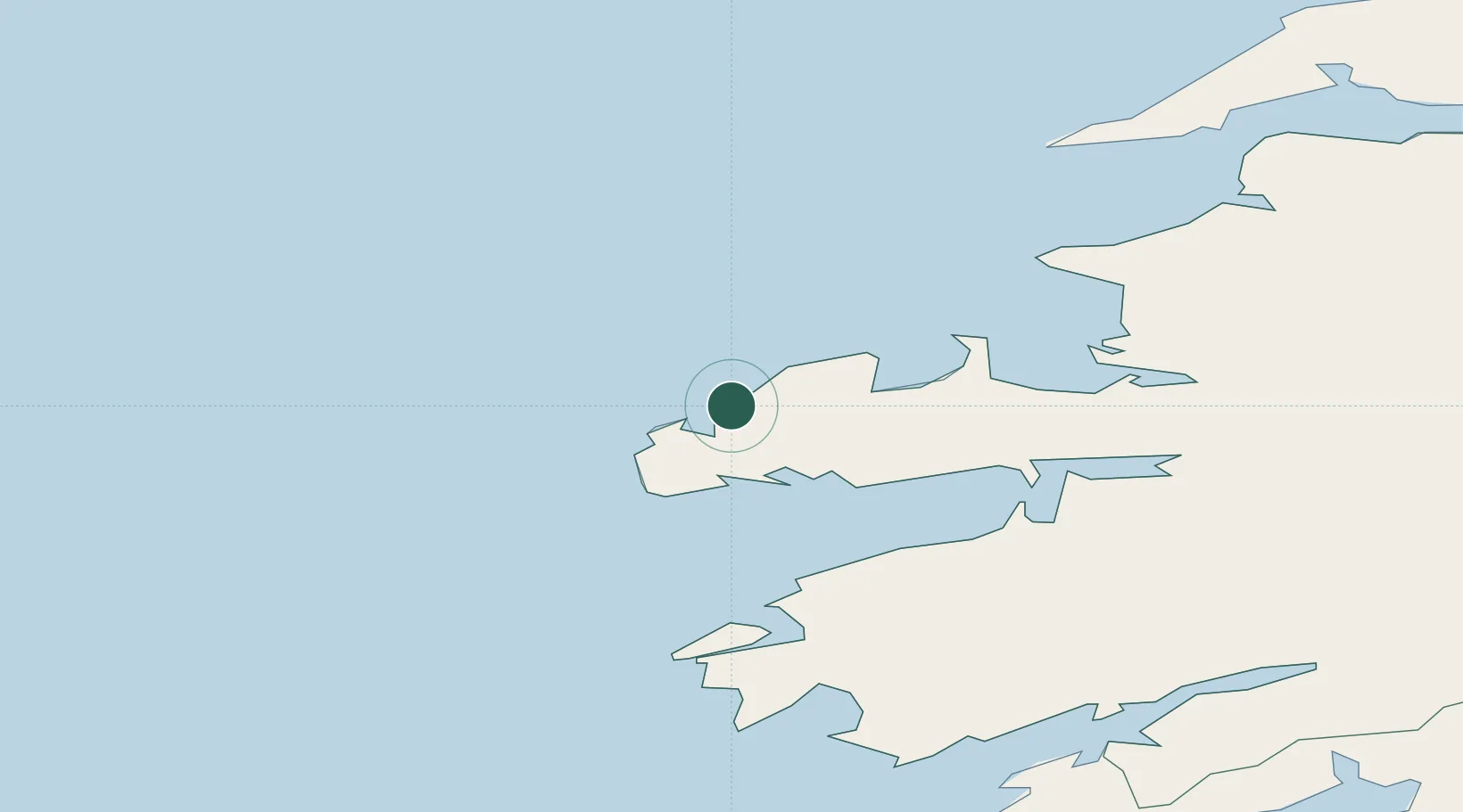
Place type
Populated place
Region
Munster
Time zone
Europe/Dublin
Elevation
44 m
Location
Nearby Logistics Neighbours
Cities
- 1Wedlenstedt5 km
- 2Cahirciveen31 km
- 3Fenit33 km
- 4Farranfore55 km
- 5Castleisland60 km
Ports
- 1Fenit33 km
- 2Castletown Bearhaven70 km
- 3Kilrush74 km
- 4Tarbert78 km
- 5Bantry86 km
Airports
- 1Kerry Airport57 km
- 2Inishmore Aerodrome110 km
- 3Inisheer Aerodrome110 km
- 4Shannon Airport111 km
- 5Inishmaan Aerodrome111 km
Trade Zones
DatabookThe Record of Consolidated Knowledge
Ireland beyond logistics?