Channel & Berth Profile
Pilotage, Tugs & Services
Pilotage compulsoryNO
Pilotage availableYES
Tug assistanceNO
Salvage tugsNO
Potable waterYES
Diesel bunkersYES
MedicalNO
Garbage disposalNO
Facilities & Capabilities
Container—
Ro-Ro—
Liquid bulk—
Dry bulk—
Oil terminal—
Break bulk—
Dry dock—
RepairsNO
Bunkering—
Rail linkNO
Dangerous cargo—
ISPS security—
Harbour Specifications
Harbour size
Very Small
Harbour type
Coastal (Natural)
Shelter
Fair
Water body
North Atlantic Ocean
Tidal range
4 m
Overhead limit
Yes
Pilotage
No
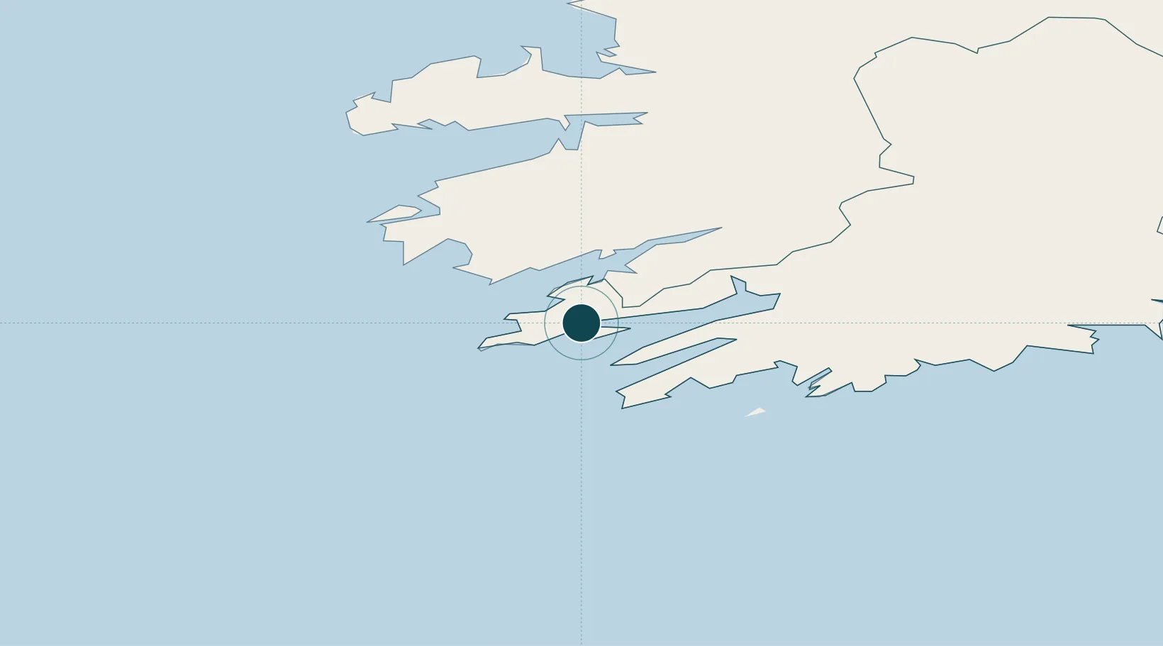
Location
Nearby Logistics Neighbours
Cities
- 1Glengarriff28 km
- 2Skull30 km
- 3Bantry Harbour32 km
- 4Bantry32 km
- 5Cahirciveen39 km
Airports
- 1Kerry Airport65 km
- 2Cork International Airport100 km
- 3Shannon Airport135 km
- 4Inisheer Aerodrome160 km
- 5Inishmaan Aerodrome162 km
Trade Zones
DatabookThe Record of Consolidated Knowledge
Ireland beyond logistics?