Small airport · Ireland

Inisheer AerodromeEIIR
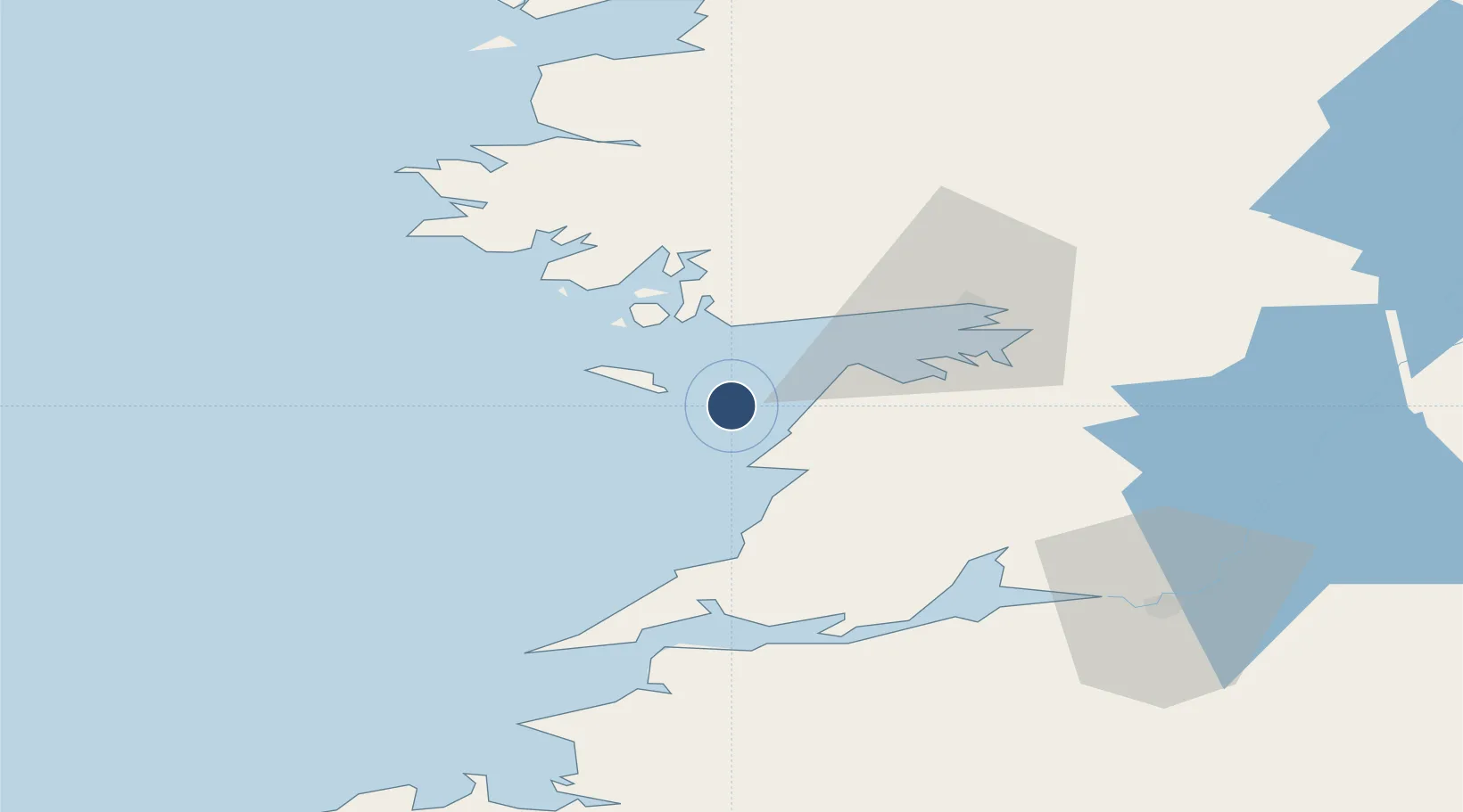
53.0647°, -9.5109°
1,706 ft
Longest runway
1
Runways
40 ft
Elevation

Runway & Layout

Inisheer Aerodrome runway & taxiway layout
Runway & taxiway layout — OpenStreetMap (ODbL) / OurAirports

Radio Frequencies

Radio
123 MHz
OurAirports

Runways · 1

RunwayDimensions SurfaceTrue headingLit
13/31 1,706 × 59ft Unknown
OurAirports

Airport Specifications

IATA code
INQ
OurAirports
ICAO code
EIIR
OurAirports
Airport class
Small airport
OurAirports
Scheduled service
Yes
OurAirports
Runway surface
Unknown
OurAirports
Served city
Inis Oírr
OurAirports

Location

Location of EIIR
Natural Earth 10m (public domain) · Clare · EIIR · 53.06, -9.51GoogleOSMYandex

Nearby Logistics Neighbours

Airports
  1. 1Inishmaan Aerodrome5 km
  2. 2Inishmore Aerodrome11 km
  3. 3Connemara Regional Airport19 km
  4. 4Shannon Airport56 km
  5. 5Kerry Airport98 km
Nearest neighbours — logibook spatial index (haversine) over the source coordinates
Cities
  1. 1Kilronan12 km
  2. 2Ennistymon21 km
  3. 3Rossaveel23 km
  4. 4Kilmurry30 km
  5. 5Kilkieran32 km
Nearest neighbours — logibook spatial index (haversine) over the source coordinates
Ports
  1. 1Galway38 km
  2. 2Kilrush48 km
  3. 3Tarbert54 km
  4. 4Foynes56 km
  5. 5Limerick77 km
Nearest neighbours — logibook spatial index (haversine) over the source coordinates
Trade Zones
  1. 1Shannon Free Zone58 km
  2. 2Dublin International Financial Services Centre220 km
  3. 3Isle of Man Free Zone and Business Park342 km
  4. 4Prestwick Airport Free Zone418 km
  5. 5Cornwall Newquay Aerohub Enterprise Zone427 km
Nearest neighbours — logibook spatial index (haversine) over the source coordinates
DatabookThe Record of Consolidated Knowledge
Ireland beyond logistics?
Browse databook

All Sources

AirportsOurAirports
Public domain
Portsthe NGA World Port Index
Public domain (US gov)
LocationsUN/LOCODE
UN/LOCODE — free
Trade Zonesthe World Bank SEZ database
CC BY 4.0
Trade ZonesOpen Zone Map
CC BY
InfrastructureOpenStreetMap
ODbL 1.0
← Ireland airports