Free Trade Zone · United Kingdom

Isle of Man Free Zone and Business Park Active
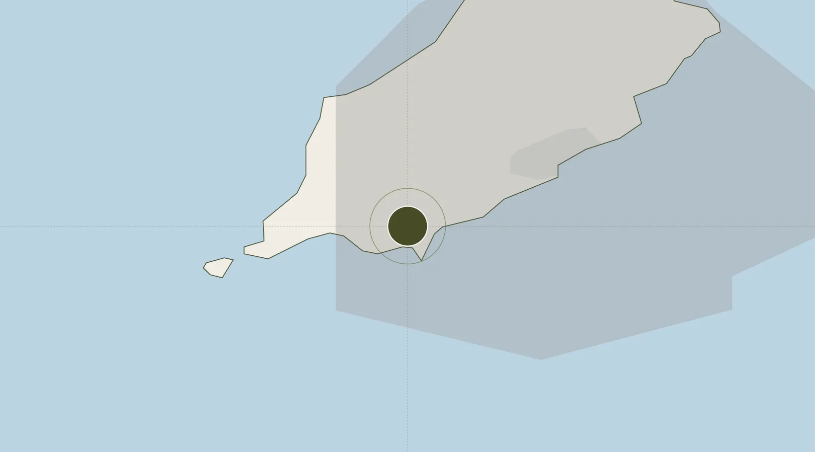
54.0918°, -4.6259°
7 ha
Zone area
12.2 km
Nearest port
1.0 km
Nearest airport

Gateway access

Nearest neighbours — logibook spatial index (haversine) over the source coordinates

Zone profile

Zone type
Free Trade Zone
Open Zone Map
Region
Isle of Man
Open Zone Map
Status
Active
Open Zone Map
Management
Private
Open Zone Map
Operator
EB Holdings, Inc.
Open Zone Map
Legal framework
1979 Customs and Excise Agreement
Open Zone Map

Location

Location of ozm-4713
Natural Earth 10m (public domain) · Isle of Man · ozm-4713 · 54.09, -4.63GoogleOSMYandex

Nearby Logistics Neighbours

Ports
  1. 1Douglas12 km
  2. 2Ramsey30 km
  3. 3Ardglass67 km
  4. 4Workington83 km
  5. 5Holyhead86 km
Nearest neighbours — logibook spatial index (haversine) over the source coordinates
Airports
  1. 1Isle of Man Airport1 km
  2. 2Barrow Walney Island Airport89 km
  3. 3Anglesey Airport94 km
  4. 4George Best Belfast City Airport100 km
  5. 5Blackpool Airport111 km
Nearest neighbours — logibook spatial index (haversine) over the source coordinates
Cities
  1. 1Castletown2 km
  2. 2Santon4 km
  3. 3Port Saint Mary8 km
  4. 4Port Saint Mary8 km
  5. 5Port Erin9 km
Nearest neighbours — logibook spatial index (haversine) over the source coordinates
Trade Zones
  1. 1Blackpool Enterprise Zone110 km
  2. 2Hillhouse Enterprise Zone115 km
  3. 3Lancashire Enterprise Zone130 km
  4. 4Mersey Waters Enterprise Zone131 km
  5. 5Dublin International Financial Services Centre135 km
Nearest neighbours — logibook spatial index (haversine) over the source coordinates
DatabookThe Record of Consolidated Knowledge
United Kingdom beyond logistics?
Browse databook

All Sources

Trade ZonesOpen Zone Map
CC BY
Portsthe NGA World Port Index
Public domain (US gov)
AirportsOurAirports
Public domain
LocationsUN/LOCODE
UN/LOCODE — free
← United Kingdom trade zones