Economic Revitalization Project · United Kingdom

Oceansgate Plymouth Active
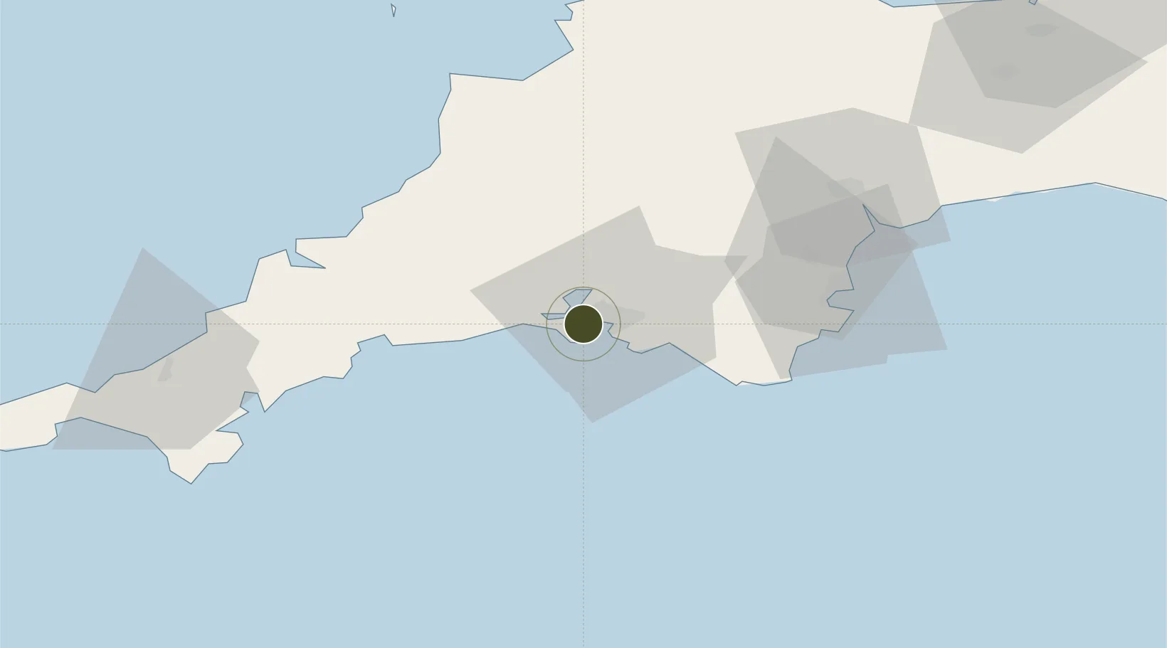
50.3703°, -4.1821°
7 ha
Zone area
2.3 km
Nearest port
58.2 km
Nearest airport

Gateway access

Nearest neighbours — logibook spatial index (haversine) over the source coordinates

Zone profile

Zone type
Economic Revitalization Project
Open Zone Map
Region
Plymouth
Open Zone Map
Status
Active
Open Zone Map
Management
Public-Private Partnership
Open Zone Map
Operator
Heart of the South West Local Enterprise Partnership
Open Zone Map
Legal framework
Local Government, Planning and Land Act 1980
Open Zone Map

Location

Location of ozm-4671
Natural Earth 10m (public domain) · Plymouth · ozm-4671 · 50.37, -4.18GoogleOSMYandex

Nearby Logistics Neighbours

Ports
  1. 1Plymouth2 km
  2. 2Fowey Harbour32 km
  3. 3Par37 km
  4. 4Dartmouth Harbour40 km
  5. 5Charlestown41 km
Nearest neighbours — logibook spatial index (haversine) over the source coordinates
Airports
  1. 1Cornwall Airport Newquay58 km
  2. 2Exeter International Airport68 km
  3. 3Hartland Point Heliport76 km
  4. 4Royal Marines Base Chivenor80 km
  5. 5RNAS Culdrose83 km
Nearest neighbours — logibook spatial index (haversine) over the source coordinates
Cities
  1. 1Devonport0 km
  2. 2Torpoint3 km
  3. 3Walkhampton9 km
  4. 4Plymouth9 km
  5. 5Plympton10 km
Nearest neighbours — logibook spatial index (haversine) over the source coordinates
Trade Zones
  1. 1Heart of the South West Enterprise Zone7 km
  2. 2Cornwall Newquay Aerohub Enterprise Zone58 km
  3. 3Exeter & East Devon Enterprise Zone65 km
  4. 4Dorset Innovation Park140 km
  5. 5Bristol Temple Quarter Enterprise Zone164 km
Nearest neighbours — logibook spatial index (haversine) over the source coordinates
DatabookThe Record of Consolidated Knowledge
United Kingdom beyond logistics?
Browse databook

All Sources

Trade ZonesOpen Zone Map
CC BY
Portsthe NGA World Port Index
Public domain (US gov)
AirportsOurAirports
Public domain
LocationsUN/LOCODE
UN/LOCODE — free
← United Kingdom trade zones