Transport Functions
Port
Road
Airport
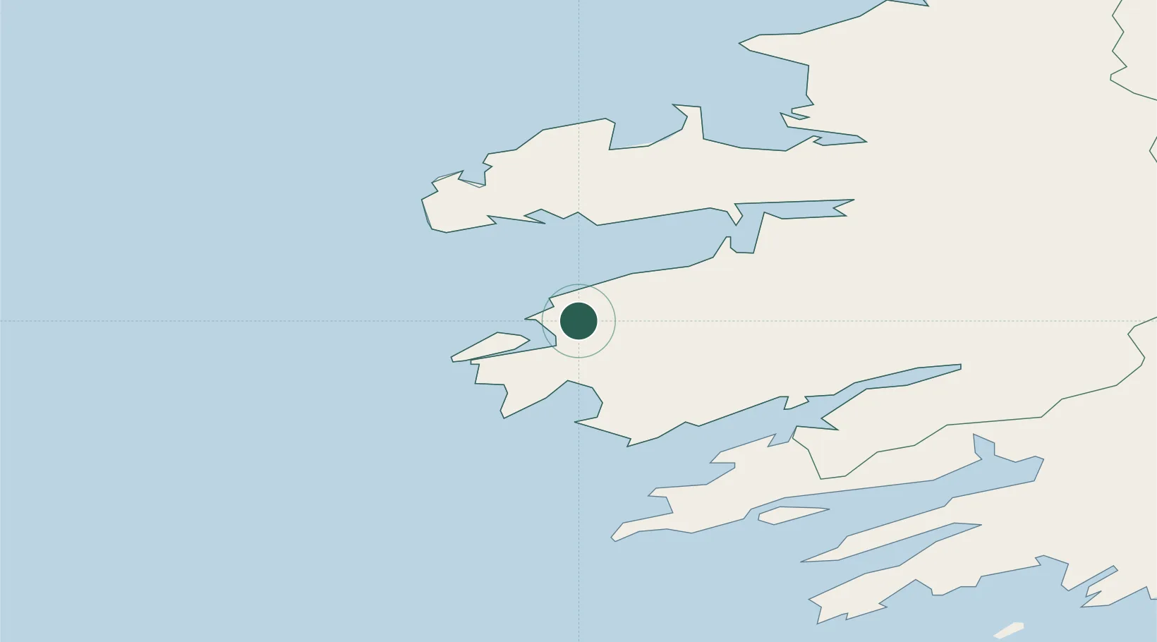
Location
Nearby Logistics Neighbours
Cities
- 1Ballydavid31 km
- 2Wedlenstedt36 km
- 3Castletown Bearhaven39 km
- 4Fenit43 km
- 5Glengarriff51 km
Ports
- 1Castletown Bearhaven39 km
- 2Fenit43 km
- 3Bantry61 km
- 4Kilrush90 km
- 5Tarbert91 km
Airports
- 1Kerry Airport54 km
- 2Cork International Airport119 km
- 3Shannon Airport121 km
- 4Inisheer Aerodrome133 km
- 5Inishmore Aerodrome134 km
Trade Zones
DatabookThe Record of Consolidated Knowledge
Ireland beyond logistics?