Channel & Berth Profile
Pilotage, Tugs & Services
Pilotage compulsoryYES
Pilotage availableYES
Tug assistanceYES
Salvage tugsNO
MedicalYES
Garbage disposalYES
Facilities & Capabilities
Container—
Ro-Ro—
Liquid bulk—
Dry bulk—
Oil terminal—
Break bulk—
Dry dock—
Repairs—
BunkeringNO
Rail link—
Dangerous cargo—
ISPS security—
Harbour Specifications
Harbour size
Very Small
Harbour type
River (Natural)
Shelter
Good
Water body
North Atlantic Ocean
Tidal range
5 m
Overhead limit
Yes
Pilotage
Yes
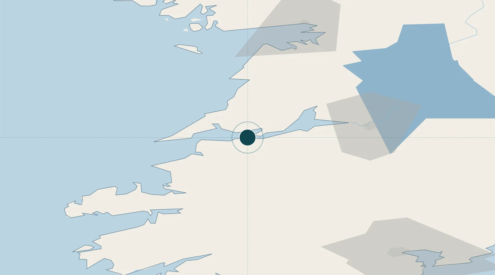
Location
Nearby Logistics Neighbours
Cities
- 1Doonbeg20 km
- 2Kilmurry25 km
- 3Rathkeale30 km
- 4Shannon37 km
- 5Clarecastle38 km
Airports
- 1Shannon Airport33 km
- 2Kerry Airport46 km
- 3Inisheer Aerodrome54 km
- 4Inishmaan Aerodrome58 km
- 5Inishmore Aerodrome61 km
Trade Zones
DatabookThe Record of Consolidated Knowledge
Ireland beyond logistics?