Seaport · Ireland

KilrushIEKLR

52.6333°, -9.5000°
4.9 m
Channel depth

Channel & Berth Profile

SEA LEVEL (CD)CHANNEL BEDChannel · 4.9 mCargo pier · 4.9 mAnchorage · 7.9 m
NGA World Port Index

Pilotage, Tugs & Services

Pilotage compulsoryYES
Pilotage availableYES
Pilotage advisableYES
Local assistanceYES
Tug assistanceYES
Potable waterYES
Diesel bunkersYES
MedicalYES
Garbage disposalYES
NGA World Port Index

Facilities & Capabilities

Container
Ro-Ro
Liquid bulk
Dry bulk
Oil terminal
Break bulk
Dry dockNO
RepairsNO
BunkeringYES
Rail link
Dangerous cargo
ISPS security
NGA World Port Index

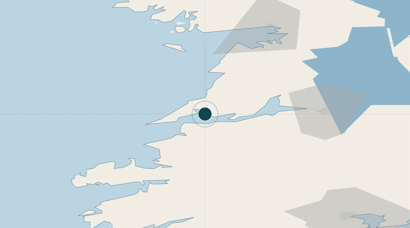
Harbour Specifications

Harbour size
Very Small
NGA World Port Index
Harbour type
River (Tide Gates)
NGA World Port Index
Shelter
Fair
NGA World Port Index
Water body
North Atlantic Ocean
NGA World Port Index
Tidal range
5 m
NGA World Port Index
Pilotage
Yes
NGA World Port Index

Location

Location of IEKLR
Natural Earth 10m (public domain) · Clare · IEKLR · 52.63, -9.50GoogleOSMYandex

Nearby Logistics Neighbours

Ports
  1. 1Tarbert11 km
  2. 2Foynes26 km
  3. 3Fenit48 km
  4. 4Limerick60 km
  5. 5Galway77 km
Nearest neighbours — logibook spatial index (haversine) over the source coordinates
Cities
  1. 1Doonbeg11 km
  2. 2Kilmurry19 km
  3. 3Ennistymon36 km
  4. 4Rathkeale40 km
  5. 5Clarecastle42 km
Nearest neighbours — logibook spatial index (haversine) over the source coordinates
Airports
  1. 1Shannon Airport40 km
  2. 2Inisheer Aerodrome48 km
  3. 3Kerry Airport50 km
  4. 4Inishmaan Aerodrome51 km
  5. 5Inishmore Aerodrome54 km
Nearest neighbours — logibook spatial index (haversine) over the source coordinates
Trade Zones
  1. 1Shannon Free Zone42 km
  2. 2Dublin International Financial Services Centre232 km
  3. 3Isle of Man Free Zone and Business Park362 km
  4. 4Cornwall Newquay Aerohub Enterprise Zone396 km
  5. 5Mersey Waters Enterprise Zone442 km
Nearest neighbours — logibook spatial index (haversine) over the source coordinates
DatabookThe Record of Consolidated Knowledge
Ireland beyond logistics?
Browse databook

All Sources

Portsthe NGA World Port Index
Public domain (US gov)
AirportsOurAirports
Public domain
LocationsUN/LOCODE
UN/LOCODE — free
Trade Zonesthe World Bank SEZ database
CC BY 4.0
Trade ZonesOpen Zone Map
CC BY
← Ireland ports