Medium airport · Ireland
Kerry AirportEIKY
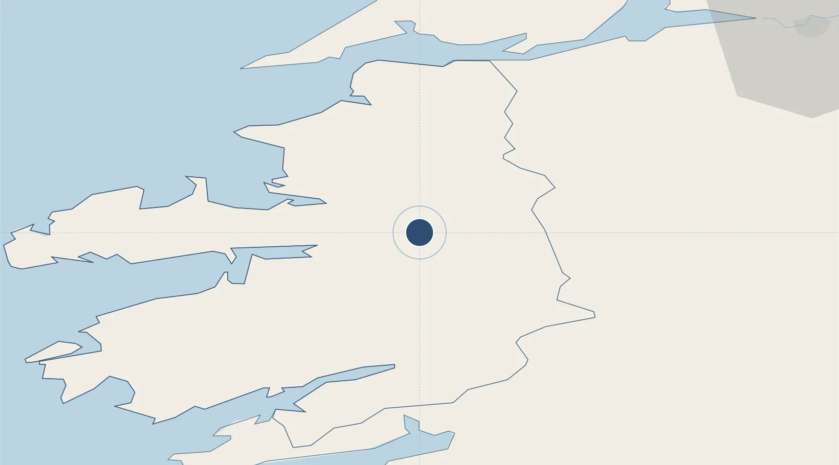
52.1809°, -9.5238°
6,562 ft
Longest runway
1
Runways
112 ft
Elevation
Runway & Layout

Radio Frequencies
TWR
123.325 MHz
GND
121.6 MHz
Navaids
KER NDB Kerry 334 kHz
Runways · 1
| Runway | Dimensions | Surface | True heading | Lit |
|---|---|---|---|---|
| 08/26 | 6,562 × 148ft | Asphalt | 071° | ✓ |
Airport Specifications
IATA code
KIR
ICAO code
EIKY
Airport class
Medium airport
Scheduled service
Yes
Runway surface
Asphalt
Served city
Farranfore
Location
Nearby Logistics Neighbours
Airports
- 1Shannon Airport71 km
- 2Cork International Airport80 km
- 3Inisheer Aerodrome98 km
- 4Inishmaan Aerodrome102 km
- 5Inishmore Aerodrome103 km
Cities
- 1Farranfore2 km
- 2Castleisland7 km
- 3Fenit25 km
- 4Glengarriff48 km
- 5Cahirciveen54 km
Trade Zones
DatabookThe Record of Consolidated Knowledge
Ireland beyond logistics?