Seaport · Ireland

FoynesIEFOV

52.6167°, -9.1167°
6.4 m
Channel depth
7.7
Port liner connectivity

Channel & Berth Profile

SEA LEVEL (CD)CHANNEL BEDChannel · 6.4 mOil terminal · 14.0 mAnchorage · 23.2 mCargo pier · 23.2 m
NGA World Port Index

Pilotage, Tugs & Services

Pilotage compulsoryYES
Pilotage availableYES
Tug assistanceYES
Salvage tugsNO
Potable waterYES
Diesel bunkersYES
MedicalYES
Garbage disposalYES
NGA World Port Index

Facilities & Capabilities

Container
Ro-Ro
Liquid bulk
Dry bulk
Oil terminal
Break bulk
Dry dockNO
RepairsNO
BunkeringYES
Rail linkYES
Dangerous cargo
ISPS security
NGA World Port Index

Harbour Specifications

Harbour size
Large
NGA World Port Index
Harbour type
River (Natural)
NGA World Port Index
Shelter
Good
NGA World Port Index
Water body
North Atlantic Ocean
NGA World Port Index
Tidal range
5 m
NGA World Port Index
Pilotage
Yes
NGA World Port Index

Liner Connectivity

7.7
PLSCI

Port Liner Shipping Connectivity Index for Foynes, as published by UNCTAD for the latest available quarter. Higher values indicate stronger scheduled liner-shipping integration.

Shown relative to the highest per-port PLSCI in the dataset (1,657.9).
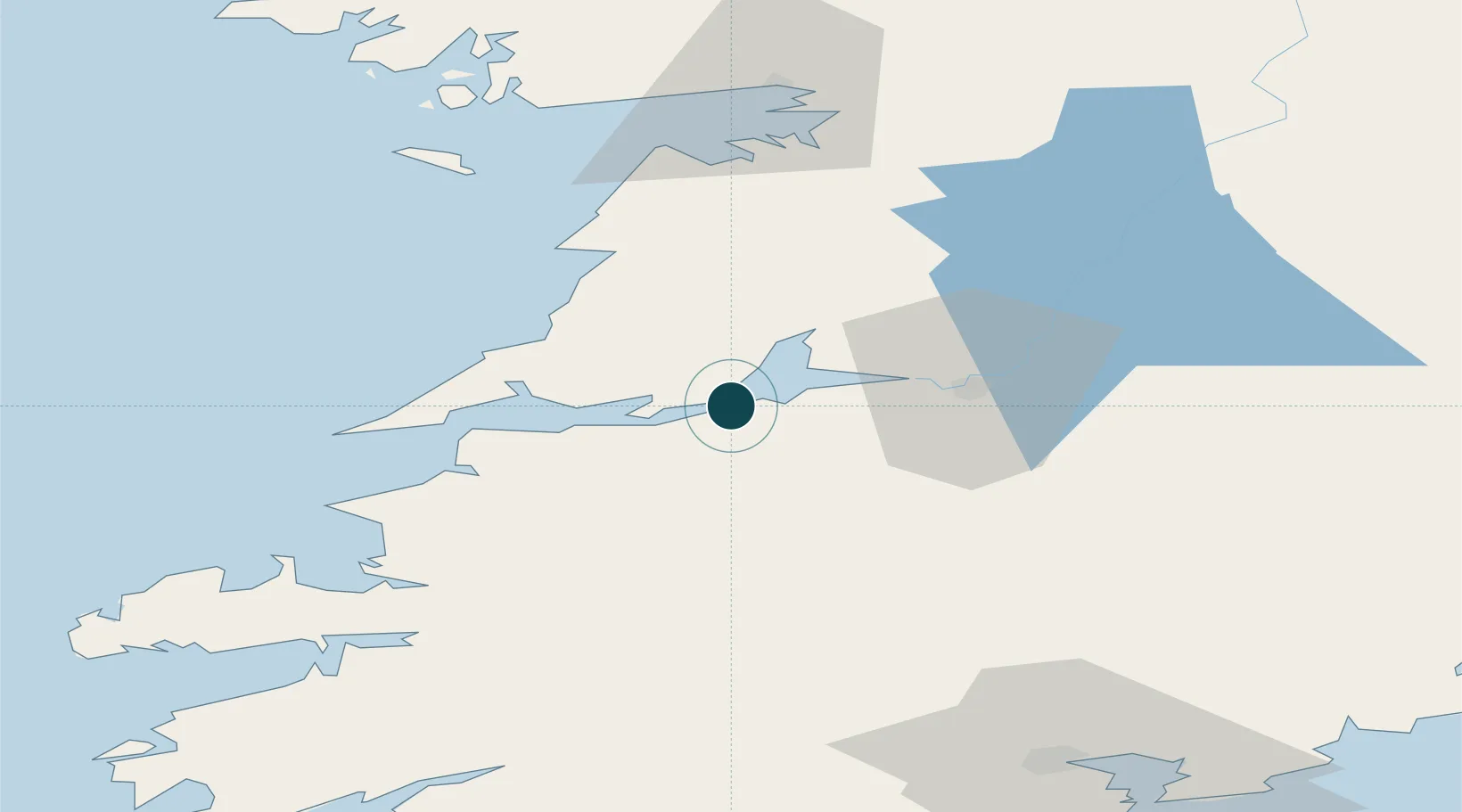
UNCTAD · Port Liner Shipping Connectivity Index

Location

Location of IEFOV
Natural Earth 10m (public domain) · Clare · IEFOV · 52.62, -9.12GoogleOSMYandex

Nearby Logistics Neighbours

Ports
  1. 1Tarbert17 km
  2. 2Kilrush26 km
  3. 3Limerick34 km
  4. 4Fenit64 km
  5. 5Galway72 km
Nearest neighbours — logibook spatial index (haversine) over the source coordinates
Cities
  1. 1Rathkeale17 km
  2. 2Shannon20 km
  3. 3Clarecastle25 km
  4. 4Doonbeg30 km
  5. 5Kilmurry30 km
Nearest neighbours — logibook spatial index (haversine) over the source coordinates
Airports
  1. 1Shannon Airport16 km
  2. 2Kerry Airport56 km
  3. 3Inisheer Aerodrome56 km
  4. 4Inishmaan Aerodrome61 km
  5. 5Inishmore Aerodrome65 km
Nearest neighbours — logibook spatial index (haversine) over the source coordinates
Trade Zones
  1. 1Shannon Free Zone18 km
  2. 2Dublin International Financial Services Centre209 km
  3. 3Isle of Man Free Zone and Business Park340 km
  4. 4Cornwall Newquay Aerohub Enterprise Zone374 km
  5. 5Mersey Waters Enterprise Zone417 km
Nearest neighbours — logibook spatial index (haversine) over the source coordinates
DatabookThe Record of Consolidated Knowledge
Ireland beyond logistics?
Browse databook

All Sources

Portsthe NGA World Port Index
Public domain (US gov)
Logistics performanceUNCTAD
CC BY 3.0 IGO
AirportsOurAirports
Public domain
LocationsUN/LOCODE
UN/LOCODE — free
Trade Zonesthe World Bank SEZ database
CC BY 4.0
Trade ZonesOpen Zone Map
CC BY
← Ireland ports