Free Trade Zone · Ireland
Dublin International Financial Services Centre Active
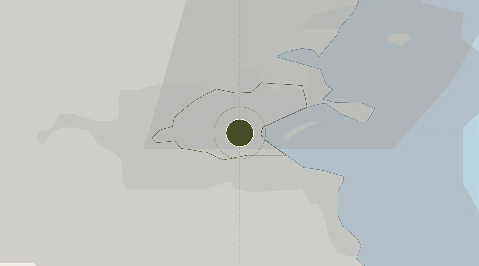
53.3496°, -6.2486°
38 ha
Zone area
0.1 km
Nearest port
8.8 km
Nearest airport
Gateway access
Zone profile
Zone type
Free Trade Zone
Region
Dublin
Status
Active
Management
Public-Private Partnership
Operator
IFSC Group, Ltd.
Legal framework
Section 23 Relief – Rented Residential Relief in a Tax Incentive Area Part 10-11-01
Location
Nearby Logistics Neighbours
Ports
- 1Dublin0 km
- 2Drogheda41 km
- 3Greenore76 km
- 4Kilkeel80 km
- 5Warren Point83 km
Airports
- 1Dublin Airport9 km
- 2Casement Air Base15 km
- 3Weston Airport16 km
- 4Anglesey Airport114 km
- 5Isle of Man Airport135 km
Cities
- 1Dublin2 km
- 2Dublin-Marine Terminal2 km
- 3Dublin-Ferryport Terminal 34 km
- 4Dublin-Dublin Ferryport Terminals4 km
- 5Ballsbridge4 km
Trade Zones
- 1Isle of Man Free Zone and Business Park135 km
- 2Shannon Free Zone191 km
- 3Mersey Waters Enterprise Zone214 km
- 4Blackpool Enterprise Zone217 km
- 5Hillhouse Enterprise Zone223 km
DatabookThe Record of Consolidated Knowledge
Ireland beyond logistics?