Transport Functions
Rail
Road
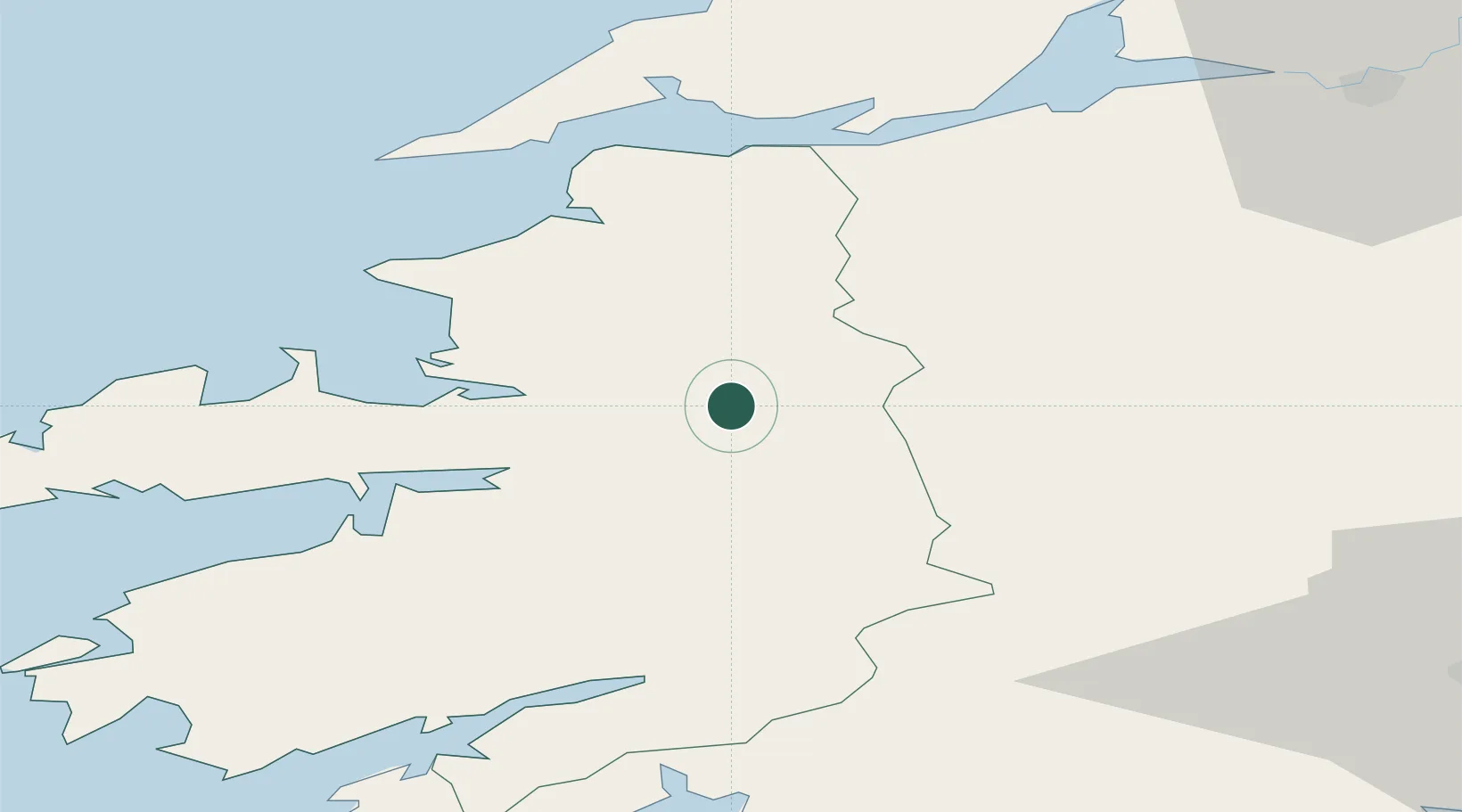
Hub Profile
Place type
Populated place
Region
Munster
Population
2,486
Time zone
Europe/Dublin
Elevation
29 m
Location
Nearby Logistics Neighbours
Cities
- 1Farranfore9 km
- 2Fenit28 km
- 3Rathkeale48 km
- 4Glengarriff54 km
- 5Doonbeg56 km
Airports
- 1Kerry Airport7 km
- 2Shannon Airport64 km
- 3Cork International Airport80 km
- 4Inisheer Aerodrome93 km
- 5Inishmaan Aerodrome96 km
Trade Zones
DatabookThe Record of Consolidated Knowledge
Ireland beyond logistics?